
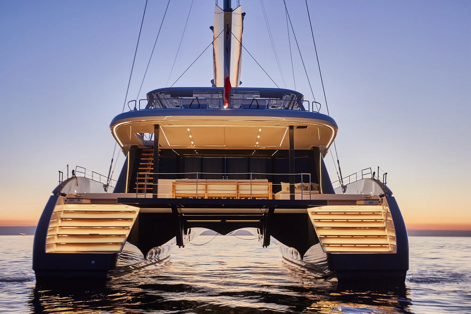
Sunreef 80 Sail NEXT ( Eco-Option )23.87 m (78 ft 4 in)
View Specs & Review35–49 ft alongside the wharf, a 1.6 ft tide, and an island that works on moorings
Yachting in Dominica
A Minted Location · Dominica, The Windwards
Most Caribbean markets are decided by how little water there is. Dominica is decided by how much. The Dominica Air and Sea Ports Authority publishes a "Depth of Water alongside Wharf: 35 - 49 ft." at the Cabrits berth in Portsmouth, and a "Depth of Water Alongside: 13m" — about 43 ft — at the Roseau platform. Those are depths at the wharf, not in the approach. This island is volcanic and it is steep-to: the reserve at the southern tip describes one of its own dive walls as "a fifteen hundred foot wall that plunges straight down from the cliff face."
That decides how you stop here. Ground tackle only works where the bottom comes up to meet it, and along most of Dominica's lee the bottom does not. Add DASPA's published tidal range of 1.6 ft and there is no tide to wait for either — you cannot float off a shallow spot here because there are hardly any shallow spots.
Berthing is arranged rather than booked. The only published berthing figures in the country are the government's own two cruise structures — a 300 ft timber wharf at Cabrits and a 160 ft (49 m) × 37 ft (11.3 m) platform at Roseau — and neither is a yacht marina. A 150-berth facility taking yachts to 150 ft is under construction at Bell Hall near Portsmouth, with its own page putting the basin and breakwater at June 2026 and completion at Q1 2027. It is not open yet.
So the working answer is a mooring, and in Prince Rupert Bay that means the Portsmouth Association of Yacht Security, a non-profit formed in 2005 by twelve Indian River certified tour guides, which states plainly: "We have moorings, WIFI, and showers available for our guests." Numbers and rates are settled on the spot — hail them on VHF Ch 16, which they monitor around the clock.
In the south, anchoring is not merely difficult — it is prohibited. The Soufriere-Scotts Head Marine Reserve, established under the Fisheries Act #11 of 1987 and S.R.O. #18 of 1998, publishes it in capitals on its own site: "There is NO ANCHORING in the Marine reserve." Mooring there requires "express permission from the Fisheries Division."
Treat Dominica as what it is: a mooring-and-tender island with government-grade deep water. The boat that works here carries its own power and its own tender.
Where to keep a yacht in Dominica
Dominica's only published berthing figures belong to the government, and both berths are cruise infrastructure rather than yacht marinas. They are printed here because they are the only officially published depths and dimensions in the country.
| Cabrits Cruise Ship Berth · Portsmouth | |
|---|---|
| Wharf | "Length of Timber Wharf: 300 ft." · "Width of Wharf: 16 ft." |
| Depth | "Depth of Water alongside Wharf: 35 - 49 ft." |
| Height / tide | "Height of Wharf above Mean Water Level: 8 ft." · "Tidal Range: 1.6 ft." |
| Water | 800–1,000 imperial gallons per minute, "maintained for 24 hours per day" |
| Ashore | Passenger terminal of 12,000 sq ft · walkway 156 ft from wharf to reception |
| Position | "32 road miles north of Roseau at Latitude 15°34'95"N and Longitude 61°28'W" |
Read that position line before you plot it. Ninety-five seconds is not a coordinate. It is quoted exactly as the authority writes it rather than quietly corrected — but do not navigate on it.
| Roseau Cruise Ship Berth | |
|---|---|
| Platform | 160 ft (49 m) long × 37 ft (11.30 m) wide |
| Depth | "Depth of Water Alongside: 13m" — about 43 ft |
| Sea level | "The highest level of the sea along the berthing line is 9.65m" |
| Structure | Five berthing dolphins, six mooring dolphins, access walkway 289 ft × 11 ft |
| Water | 600–800 gallons per minute, "can be maintained for 24 hours" |
| Position | "Latitude 15°17'25"N and Longitude 61°23'32"W" |
Woodbridge Bay, just north of Roseau, is the commercial port, and DASPA publishes 500 imperial gallons of water per minute against one million gallons of storage, plus "Diesel (Gas Oil) available in limited quantities ex-tank wagon at the Woodbridge Bay Port." Limited quantities and ex-tank wagon are the authority's own words — treat bunkering there as an arrangement made in advance, not a fuel dock you pull up to.
The one published yacht-facing fuel figure is a depth, and it is a good one. At New Town in Roseau, "boats can back down 'stern to' the dock in 14-17 ft of depth", at delivery rates of "up to 250 litres a minute", with duty-free fuel available. At Portsmouth the published description is "deep water approaches and very adequate depths at the dock itself" — confirm the depth on the radio before you back in.
Port Cabrits Marina is the market's whole future and it is a construction site. Its own project page publishes a "150-berth superyacht facility" with "deep-water berths accommodating superyachts up to 150 feet" at Bell Hall near Portsmouth, "Phase One, including the basin and breakwater, ... slated for completion by June 2026", and "expected completion in Q1 2027." Nothing there is bookable yet, and no depth, slip dimension, fuel or customs arrangement is published for it. The Government's own gazette is already ahead of the concrete: S.R.O. 5 of 2024, gazetted 13 June 2024, redefines the Cabrits National Park boundary as "North: By the Cabrits Marina and Douglas Bay. West: By the Sea." The marina is a legal boundary before it is a berth — and the statute calls it the Cabrits Marina where the project calls itself Port Cabrits Marina.
Everything else here is arranged rather than published. No marina in Roseau or Portsmouth publishes a slip count, a maximum length, a controlling depth or a rate card, so those are settled by telephone or on VHF Ch 16 — call before you plan around any of them.
Marinas
| Name | Where | Max yacht | Slips | Fuel |
|---|---|---|---|---|
| Cabrits Cruise Ship BerthThe deepest published water in the country and the reason this market reads the way it does. The port authority's own figures: "Length of Timber Wharf: 300 ft.", "Width of Wharf: 16 ft.", "Depth of Water alongside Wharf: 35 - 49 ft.", "Height of Wharf above Mean Water Level: 8 ft." and "Tidal Range: 1.6 ft." Water at 800–1,000 imperial gallons per minute, "maintained for 24 hours per day." Ashore, a 12,000 sq ft passenger terminal and a 156 ft walkway. The same page gives the position as "Latitude 15°34'95"N and Longitude 61°28'W" — ninety-five seconds is not a coordinate. Quoted as published; do not navigate on it. | Prince Rupert Bay, Portsmouth — 32 road miles north of Roseau | — | — | By arrangement — call ahead |
| Roseau Cruise Ship BerthA 160 ft (49 m) × 37 ft (11.30 m) platform on five berthing dolphins and six mooring dolphins, reached by a 289 ft × 11 ft access walkway, at "Latitude 15°17'25"N and Longitude 61°23'32"W." The authority publishes "Depth of Water Alongside: 13m" — about 43 ft — and that "The highest level of the sea along the berthing line is 9.65m." Water runs 600–800 gallons per minute and "can be maintained for 24 hours." Just north, the Woodbridge Bay commercial port publishes 500 imperial gallons per minute against one million gallons of storage, and "Diesel (Gas Oil) available in limited quantities ex-tank wagon" — an arrangement made in advance rather than a fuel dock. | Roseau, west coast | — | — | Diesel ex-tank wagon at Woodbridge Bay, by arrangement |
| Port Cabrits Marina — under constructionThe market's whole future in one line: a "150-berth superyacht facility" with "deep-water berths accommodating superyachts up to 150 feet" at Bell Hall near Portsmouth. Nothing about it is bookable yet, and no depth, slip dimension, fuel or customs arrangement is published. The Government is already ahead of the concrete: S.R.O. 5 of 2024, gazetted 13 June 2024 under the National Parks and Protected Areas Act Chap. 42:02, redefines the Cabrits National Park boundary as "North: By the Cabrits Marina and Douglas Bay. West: By the Sea." The marina is a statutory boundary before it is a berth — and the statute calls it the "Cabrits Marina" where the project publishes "Port Cabrits Marina." Both names are given. | Bell Hall, near Portsmouth | 150 ft | 150 | — |
| Marinas in DominicaBerthing on this island is arranged rather than booked. No marina in Roseau or Portsmouth publishes a slip count, a maximum length, a controlling depth or a rate card, so the working plan is a mooring in Prince Rupert Bay and your own tender, with the government's cruise berths at Cabrits and Roseau the only published dimensions in the country. Telephone, or hail on VHF Ch 16, before you plan around any berth here. | Roseau and Portsmouth | — | — | — |
Fuel docks
| Name | Where | Max yacht | Slips | Fuel |
|---|---|---|---|---|
| The Roseau fuel dock — 14–17 ft stern-toThe one published yacht-facing depth in Roseau: "boats can back down 'stern to' the dock in 14-17 ft of depth", at delivery rates of "up to 250 litres a minute", duty free. At Portsmouth the published description is "deep water approaches and very adequate depths at the dock itself" — confirm the depth on the radio before you back in. | New Town, Roseau | — | — | Duty-free diesel, "up to 250 litres a minute" |
Figures are as each facility publishes them on its own site; blank cells mean the facility doesn't state a number. Confirm slip availability and current rates directly — or ask us to make the calls.
Cruising from Dominica
Start with the rule that catches people, because it is published in capitals. The Soufriere-Scotts Head Marine Reserve covers the south-western tip — "the villages of Scott's Head and Soufrière up to Anse Bateau, near the village of Pointe Michel" — and ⚠️ its own site states: "There is NO ANCHORING in the Marine reserve." Mooring inside it requires "express permission from the Fisheries Division."
The reserve was established under the Fisheries Act #11 of 1987 and Statutory Rules and Orders #18 of 1998, and is run by a Local Area Management Authority created under S.R.O. #17 of 1998 made up of "fishermen, village councilors, The Hospitality Industry, Dominica Watersports Association, Dominica Coast Guard and the Fisheries Division." It is zoned into four areas — a fish nursery area at Soufriere with no fishing, a recreation area at the "Tous sable" beach, a fishing priority area for the local fishery, and scuba diving areas whose buoys are, in the reserve's own words, "placed for dive boats only." A dive buoy is not a visitor mooring. The reserve states that "All persons entering the SSMR are required to pay a nominal fee", collected by the wardens, the manager or an approved dive operation.
The reserve's own dive-site depths are the clearest published evidence of why anchoring is a problem here. L'Abym is described as "a fifteen hundred foot wall that plunges straight down from the cliff face." Scott's Head Pinnacle tops out "at a depth of only 35 feet" beside "a steep wall on the inside of the volcanic crater that falls off to more than 120 feet." Scott's Head Drop-Off runs "from forty to one hundred feet." Those numbers are a few hundred metres off a beach.
The north end is a national park too, and most of it is water. The Protected Areas Information System publishes Cabrits National Park at 1,298 acres (525 ha) total, of which the marine component is 1,053 acres (421 hectares) of sea "between Prince Rupert's Bay and Toucarie Bay", running from the Lamothe River mouth at Cottage to the southern side of the Cabrits peninsula. Roughly four-fifths of the national park is sea. The park was "established in 1986". Ask the Forestry, Wildlife & Parks Division about the marine section before you plan on anchoring inside it — the published fee here is the one you pay ashore.
That fee is small. The Forestry, Wildlife & Parks Division states a "Site Pass: US$5.00 (EC $13.35)" for "a single visit to one site only" and a "Week Pass: US$12.00 (EC $32.04)" which "Allows for repeat visits to all sites. Valid for one week from the date of purchase." Tickets come "at Visitor centers, from the Forestry, Wildlife & Parks Division on Windsor Park Road and selected vendors within or near the eco-tourism sites." Cabrits National Park is a listed site. A crew of six on week passes is $72.
Clearance is a conversation with Customs & Excise rather than a published tariff. The Government of Dominica publishes that edcard.dominica.gov.dm is "the official and sole platform" for the Online Immigration and Customs Declaration Card, and that it "does not levy any fees for the completion of the online ED Forms" — worth knowing, because paid look-alike sites exist. Ports of entry, office hours and any clearance or cruising fee are settled directly with Customs & Excise, so telephone before you budget or fix an arrival time. In Prince Rupert Bay the Portsmouth Association of Yacht Security lists customs and immigration clearance among its services and monitors VHF Ch 16 around the clock.
Yard work here is a passage rather than an appointment. Dominica publishes no travelift and no marine railway. The nearest published lifts sit either side of it — Sint Maarten, St Kitts and Antigua to the north, Martinique, St Lucia and Grenada to the south — so plan a haul-out around a delivery both ways.
Hurricane season here is a conversation, not a form. The Office of Disaster Management's standing advice is that "Mariners and fisher folks are advised to keep updated on sea conditions" and to secure vessels and equipment; agree the rest with your underwriter and with the association in Prince Rupert Bay on VHF Ch 16 well before the season.
- Prince Rupert Bay — the PAYS mooring field — Portsmouth, north-west coastThe island's principal visitor mooring field, run by a non-profit formed "In 2005" by "twelve Indian River certified tour guides". Its own words: "We have moorings, WIFI, and showers available for our guests", with moorings "available at: 15.58318 degrees North and 61.46216 degrees West." Services listed cover customs and immigration clearance, fuel, water, transportation to and from shore, mooring, search and rescue, garbage collection, ice and laundry. The association's boat is used "for meet and greet, assist in tying up on a mooring, and as a shuttle shore to ship" — a published ship-to-shore shuttle, which matters on an island with no dock. Mooring numbers and rates are settled on the radio: hail on VHF Ch 16. Security in the bay is given on its own pages as a "24h security patrol" and as "complimentary night security in Prince Rupert's Bay." Office on Purple Turtle Beach, 08:30–16:30, staff "On call during closed hours."
- Soufriere-Scotts Head Marine Reserve — no anchoring — South-western tip — Scott's Head, Soufrière and Anse BateauThe strongest published rule in this market, and the reserve prints it in capitals: "There is NO ANCHORING in the Marine reserve." Established under the Fisheries Act #11 of 1987 and S.R.O. #18 of 1998, run by a Local Area Management Authority created under S.R.O. #17 of 1998 comprising "fishermen, village councilors, The Hospitality Industry, Dominica Watersports Association, Dominica Coast Guard and the Fisheries Division." Four zones: a fish nursery area at Soufriere with no fishing, a recreation area at the "Tous sable" beach, a fishing priority area for the local fishery, and scuba diving areas whose buoys are "placed for dive boats only" — a dive buoy is not a visitor mooring. "All persons entering the SSMR are required to pay a nominal fee", collected by the wardens, the manager or an approved dive operation. The reserve's own dive depths explain the prohibition: L'Abym is "a fifteen hundred foot wall that plunges straight down from the cliff face", Scott's Head Pinnacle sits "at a depth of only 35 feet" beside a wall that "falls off to more than 120 feet", and the Drop-Off runs "from forty to one hundred feet."
- Cabrits National Park — four-fifths of it is sea — Prince Rupert Bay to Toucarie Bay, north-west coast"The Cabrits National Park occupies 1,298 acres (525 ha)" and "The marine component of the Cabrits National Park (MC/CNP) is the equivalent of 1,053 acres (421 hectares) of sea" between Prince Rupert's Bay and Toucarie Bay, running from the Lamothe River mouth at Cottage to the southern side of the Cabrits peninsula. Roughly four-fifths of the national park is water. Established in 1986; boundaries re-substituted by S.R.O. 5 of 2024, gazetted 13 June 2024. Ask the Forestry, Wildlife & Parks Division about the marine section before you plan on anchoring inside it — the fee published here is the site pass you buy ashore.
Service, refit & supplies
Shipyards & refit
| Name | Where | Max yacht | Dockage |
|---|---|---|---|
| Haul-out and yard workYard work in Dominica is a passage rather than an appointment: no operator here publishes a travelift, a marine railway or any haul-out capacity. The nearest published lifts are north in St Kitts and south at Rodney Bay on St Lucia, where the published travelift is 75 tonnes. Neither is close, so budget the delivery both ways when you plan a haul-out. | The whole island | — | — |
On the Dominica calendar
Dominica runs year-round, and almost every clock on this page belongs to a government office or to the mooring field in Prince Rupert Bay.
- PAYS office: 08:30–16:30, with VHF Ch 16 and mobile monitored 24 hours and staff "On call during closed hours." If you arrive after four, hail on 16.
- Water at the government berths is a 24-hour service — DASPA publishes 800–1,000 imperial gallons per minute at Cabrits and 600–800 gallons per minute at Roseau, each "maintained for 24 hours."
- Fuel at Woodbridge Bay is "available in limited quantities ex-tank wagon" — arrange it ahead rather than turn up on an hour.
- Park passes: US$5.00 (EC $13.35) for a single site, US$12.00 (EC $32.04) for a week of repeat visits to all sites, valid one week from purchase, sold at visitor centres and at the Forestry, Wildlife & Parks Division on Windsor Park Road.
- **Port Cabrits Marina: basin and breakwater "slated for completion by June 2026", whole facility "expected completion in Q1 2027."** Dates from the project's own page; nothing is bookable yet.
- Clearance hours are set by Customs & Excise on the telephone, not on a tariff — call before you fix an arrival time.
- Hurricane season is agreed with your underwriter rather than set by a published closure. The Office of Disaster Management publishes general advisories on sea conditions and securing vessels; the association in Prince Rupert Bay monitors VHF Ch 16 around the clock.
Confirm regatta and festival dates for the 2026–27 season directly with the organising clubs — the hours above are the ones that actually change a trip.
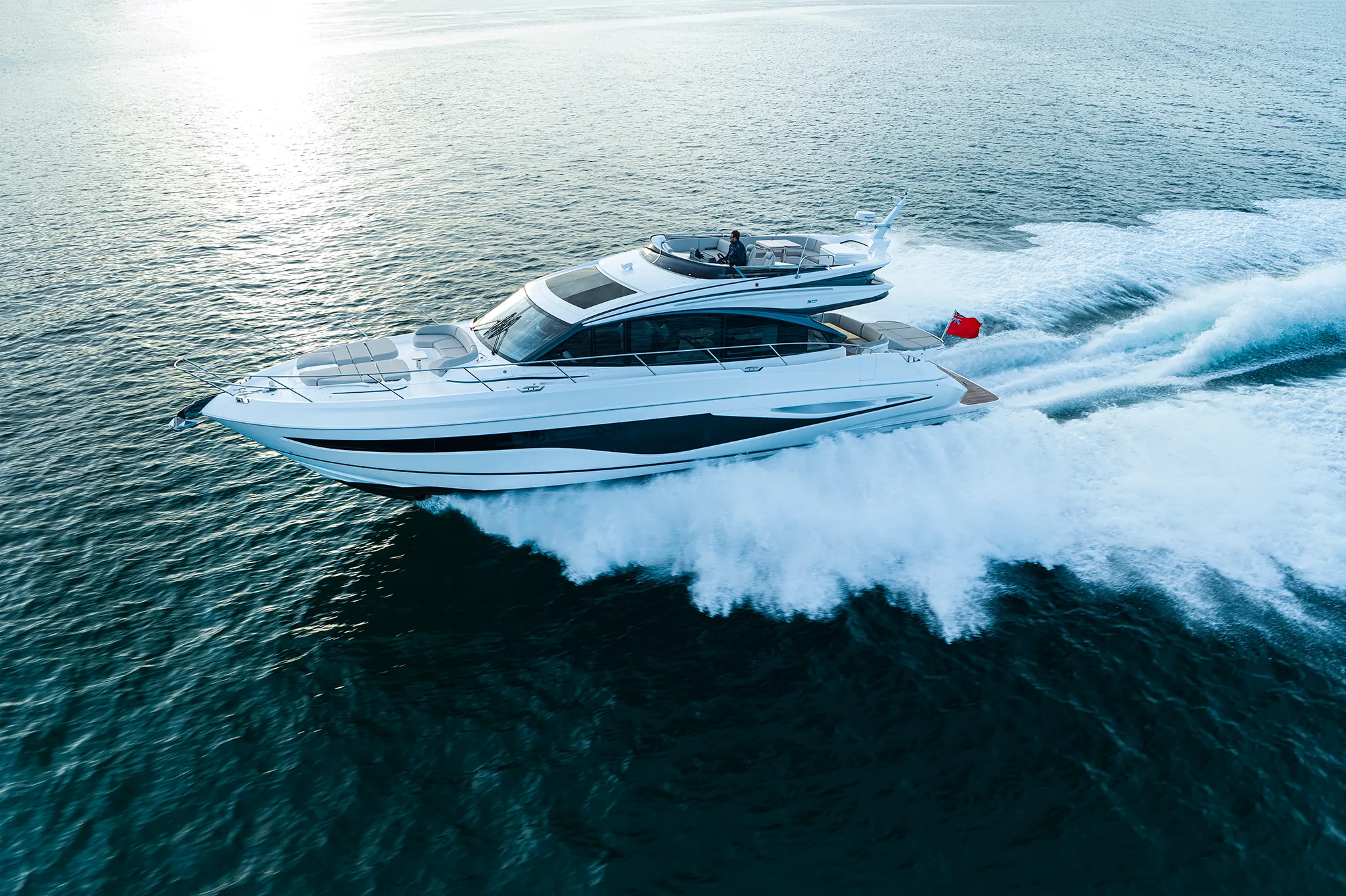
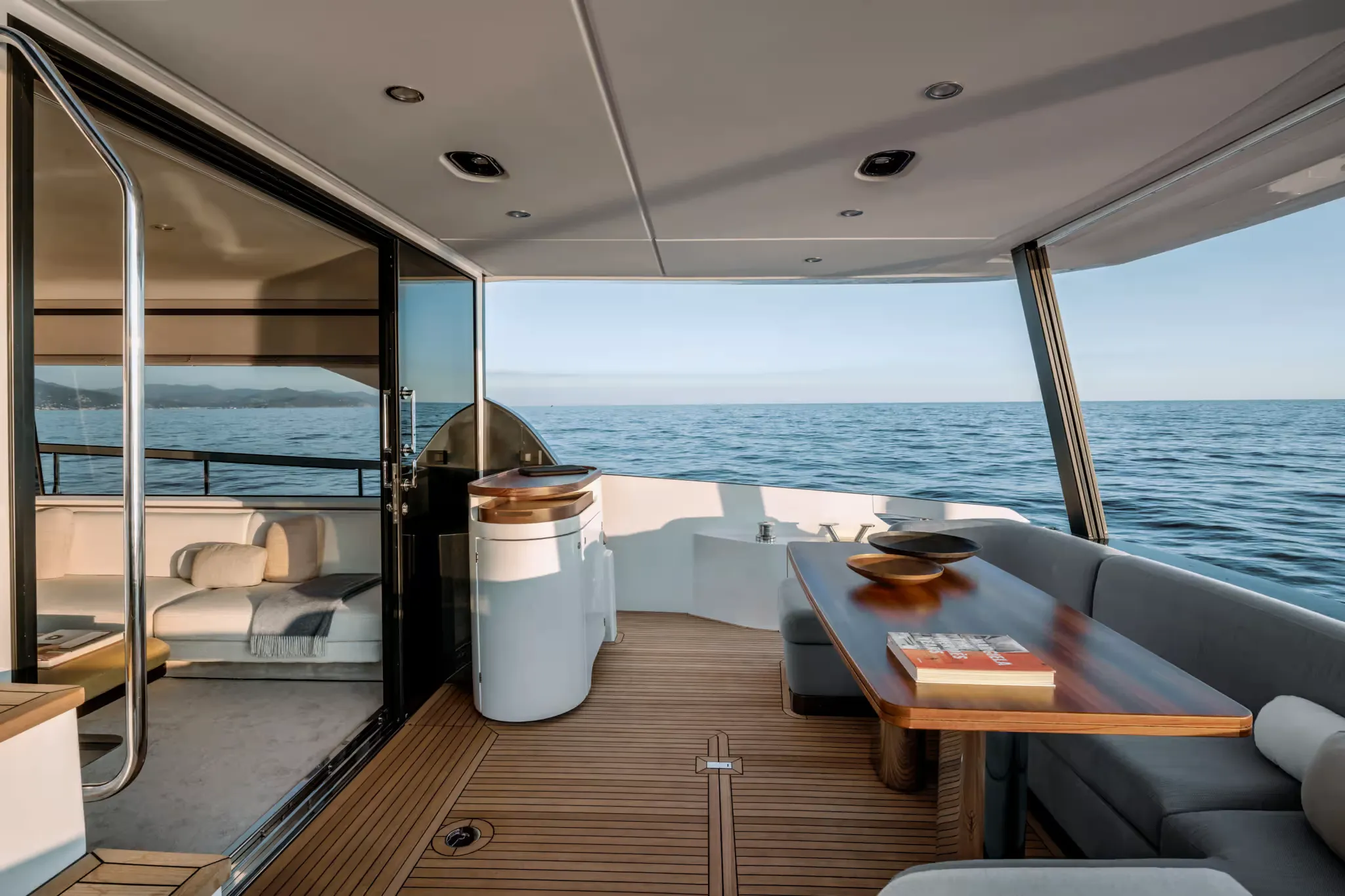
Yachts we'd shortlist for Dominica
Reviewed the same way as everything on this site — specifications verified against the builder's own numbers.
Frequently Asked Questions
Can you dock a yacht in Dominica?
Not at a published berth — the working answer is a mooring in Prince Rupert Bay and your own tender. Berthing here is arranged rather than booked: no marina in Roseau or Portsmouth publishes a slip count, a maximum length, a controlling depth or a rate, so confirm anything you plan around by telephone or on VHF Ch 16. The only published berthing figures in the country belong to the government's two cruise berths — a 300 ft timber wharf at Cabrits and a 160 ft by 37 ft platform at Roseau — and neither is a yacht marina. A 150-berth facility for yachts to 150 feet is under construction at Bell Hall near Portsmouth, with its basin and breakwater slated for June 2026 and completion expected in Q1 2027; it is not open yet.
How much does it cost to visit Cabrits National Park?
Five US dollars for a single visit. The Forestry, Wildlife & Parks Division publishes a Site Pass at US$5.00 (EC $13.35) allowing a single visit to one site, and a Week Pass at US$12.00 (EC $32.04) allowing repeat visits to all sites for one week from purchase. Cabrits National Park is a listed site. Tickets are sold at visitor centres, at the Forestry, Wildlife & Parks Division on Windsor Park Road, and by selected vendors near the sites. Note that roughly four-fifths of Cabrits National Park is sea — 1,053 acres of its 1,298 — so ask the Division about the marine section before you plan on anchoring inside it.
Where do you clear customs in Dominica?
Roseau and Portsmouth are the working answer, and the details are settled with Customs & Excise directly rather than read off a tariff. The Government publishes that edcard.dominica.gov.dm is the official and sole platform for the online immigration and customs declaration card, and that it levies no fee for completing the online ED forms — worth knowing, because paid look-alike sites exist. Ports of entry, office hours and any clearance or cruising fee are confirmed by telephone with Customs & Excise, so call before you budget or fix an arrival time. In Prince Rupert Bay the Portsmouth Association of Yacht Security lists customs and immigration clearance among its services and monitors VHF Ch 16 around the clock.
Can you haul out a yacht in Dominica?
No — treat yard work as a passage rather than an appointment. No operator in Dominica publishes a travelift, a marine railway or any haul-out capacity. The nearest published lifts are north in St Kitts and south at Rodney Bay on St Lucia, where the published travelift is 75 tonnes; further south again, Grenada has several yards on one island and Martinique publishes a 440-tonne lift at Le Marin. None of them is near Dominica, so budget the delivery both ways.
Why can't you anchor in Dominica?
Because the island is volcanic and steep-to, and in one stretch because it is illegal. The Dominica Air and Sea Ports Authority publishes 35 to 49 feet of water alongside the Cabrits wharf and 13 metres — about 43 feet — alongside the Roseau platform, and the marine reserve describes one of its own walls as fifteen hundred feet plunging straight down from the cliff face. Ground tackle only works where the bottom comes up to meet it. With a published tidal range of 1.6 feet there is no tide to wait for either. And in the south the Soufriere-Scotts Head Marine Reserve states in capitals that there is no anchoring in the reserve at all.
Can you anchor in the Soufriere-Scotts Head Marine Reserve?
No. The reserve publishes it on its own site in capitals: there is no anchoring in the marine reserve, and mooring requires express permission from the Fisheries Division. The reserve was established under the Fisheries Act #11 of 1987 and Statutory Rules and Orders #18 of 1998, covering Scott's Head and Soufrière up to Anse Bateau near Pointe Michel. It is zoned into a fish nursery area, a recreation area, a fishing priority area and scuba diving areas whose buoys are placed for dive boats only — so a dive buoy is not a visitor mooring. All persons entering are required to pay a nominal fee, agreed on the spot with the wardens, the manager or an approved dive operation.