
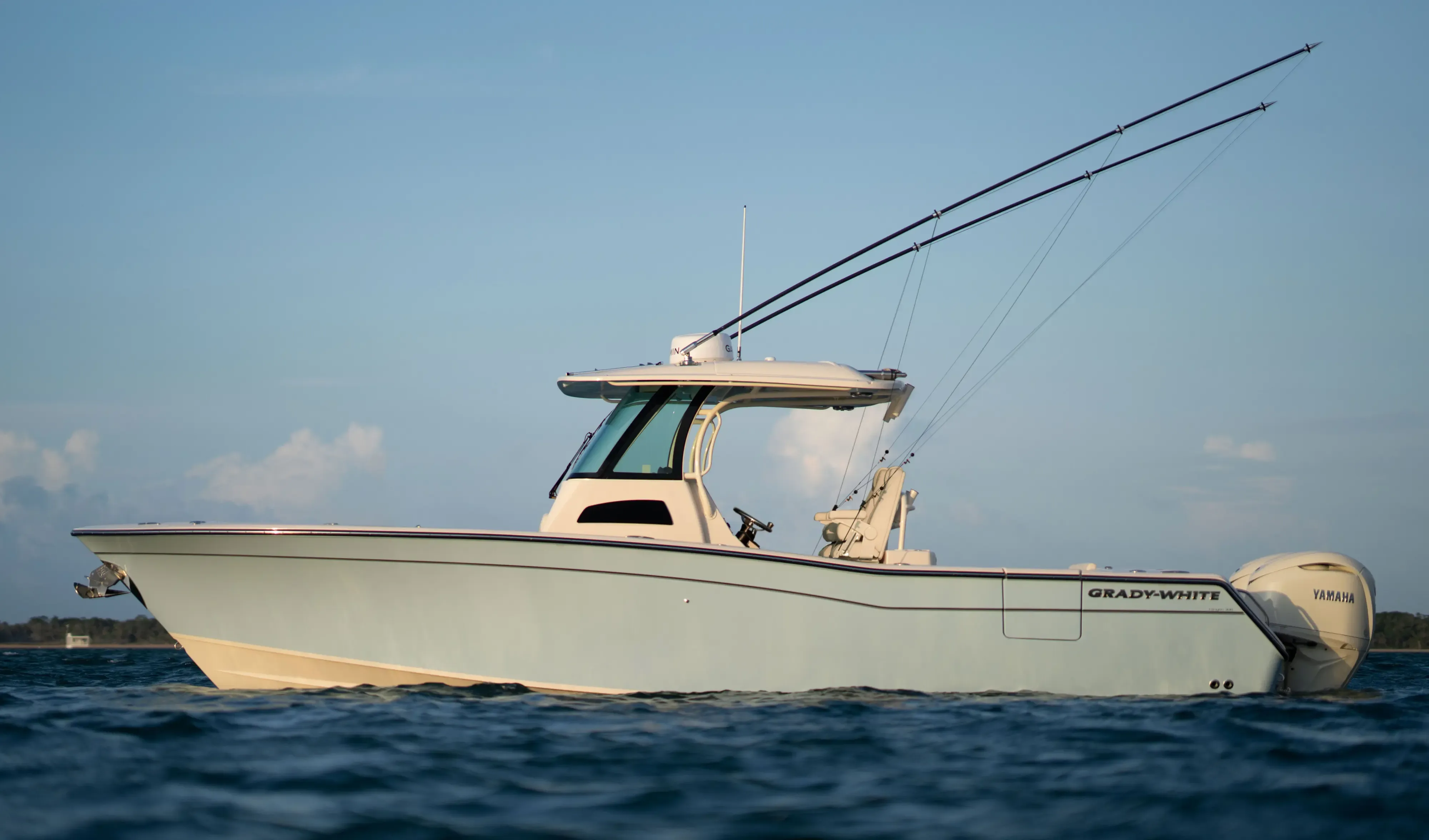
Grady White 306 Canyon30' 6"
View Specs & ReviewThe outside-coast yard — where the boat gets hauled, not berthed
Yachting in Sitka
A Minted Location · Sitka, Alaska
Sitka is the place on this coast where a serious boat gets fixed. It has a 150-ton travelift, 27 feet of water alongside the transient floats at Eliason, a 300-foot city wall, U.S. customs port-of-entry status, a Coast Guard air station and a genuine cluster of trades — machine shop, propeller shop, fabrication and welding, refrigeration, diesel diagnostics, hydraulics, marine electronics and canvas — all in one place.
What it is not is a place to plan a berth. The City's 2024 rate study gives the shape of the harbour: 47 percent of stalls are 24 feet or under, and 95 percent are 50 feet or under. The entire inventory above 80 feet is nine stalls out of 1,266.
And the fact that governs the rest of the trip: moorage is not assigned until the vessel arrives. Sitka takes no transient reservations. A 100-footer crosses to Sitka on the understanding that the Harbormaster will find it something — usually successfully, because Eliason holds 4,134 linear feet of transient dock, but never in advance.
Where to keep a yacht in Sitka
Five City harbours hold 1,266 stalls across 40,937 linear feet. Eliason Harbor is the one that matters for anything of size — 242 stalls, the only ones above 82 ft (six at 100 ft, one at 125 ft, one at 150 ft), 27 feet alongside, and 4,134 linear feet of transient moorage, which is 76 percent of the City's entire transient inventory.
Thomas Basin tops out at 82 ft, Crescent at 75, ANB at 55 and Sealing Cove at 45. Above all of that sits the Port Facility, the "City Wall," which the City states takes vessels up to 300 feet.
Transient rates run $1.62 per foot per day to 80 ft, $2.77 from 81 to 150 ft, and $4.14 above 150 ft; monthly permits go to $27.75 per foot to 150 ft and $41.60 per foot at 151 ft and up.
Read the reservation policy before planning anything. The City states: *"Harbor personnel will advise transient vessels by radio of available transient moorage. Moorage will not be assigned until the transient vessel arrives in Sitka."* The only bookable large-vessel space is a named seasonal list, 1 May to 30 September — a handful of stalls on Eliason and Thomas floats, plus a 600-foot side-tie the City lists as "BWN 600' No power available." A reservation is held by a non-refundable first day's fee and forfeits if you have not arrived by 13:00 on the second day.
All transient vessels must register with the Harbormaster within 12 hours of entering the system. The office runs seven days, 08:00–23:00, on VHF 16.
Two more things to plan around. Utilisation is 85 percent overall — Eliason 95, Crescent 93, ANB 100 — against a 216-vessel waitlist, so raise the Harbormaster on the way in rather than at the entrance. And the City harbours sell no fuel at all: fuel is a separate call to a private operator at the town wharves, where the City reports 20 to 30 feet alongside. Confirm hours before you plan a fuel stop around them.
Marinas
| Name | Where | Max yacht | Slips | Fuel |
|---|---|---|---|---|
| Eliason HarborThe only harbour in Sitka with berths above 82 ft: six stalls at 100 ft, one at 125 ft and one at 150 ft, plus eight at 75 ft. NOAA records 27 feet alongside (2002), which is what makes it usable for a deep-draft boat. Utilisation runs about 95 percent, so call the Harbormaster on the way in rather than at the entrance. | Northernmost basin, east side of Sitka Harbor | 150 ft | 242 | None at the harbour — fuel is at the town wharves |
| Port Facility (the City Wall)The City states plainly that the Port Facility offers moorage for vessels up to 300 feet in length. This is where anything genuinely large ties up — arrange it with the Harbormaster on VHF 16. | Downtown waterfront | 300 ft | — | No |
| Thomas Harbor229 stalls with a single 82 ft berth at the top. NOAA recorded 12 to 25 feet alongside in 2002. Two stalls appear on the City's seasonal reservation list, so this is one of the few places in Sitka you can book ahead. | Adjoins Eliason | 82 ft | 229 | No |
| Crescent HarborThe most central harbour, at about 93 percent utilisation. Federal project depth is 10 ft with a controlling depth of 10 ft in 2010, so it is a small-craft basin: the City lists 325 stalls and NOAA records room for 413 small craft. Anything of size goes to Eliason. | North side of Crescent Bay, downtown | 75 ft | 325 | No |
| ANB HarborSmall, central and effectively full — the City reports 100 percent utilisation here. The tidal grid and work float sit alongside. | Sitka Channel, Katlian Street | 55 ft | 84 | No |
| Sealing Cove HarborThe largest harbour by stall count and the smallest by berth size — 386 stalls, none above 45 ft, and no transient stalls listed. A working small-boat basin; anything of size goes to Eliason or the City Wall. | Japonski Island | 45 ft | 386 | No |
Fuel docks
| Name | Where | Max yacht | Slips | Fuel |
|---|---|---|---|---|
| Sitka fuel wharvesNOAA records a 150 ft face with 20 to 30 feet alongside and a 25 ft deck height at the South Plant Wharf. The City harbours sell no fuel, so fuelling here is a call to the operator rather than a scheduled stop — confirm hours before you plan a passage around them. | South Plant Wharf and Sitka Channel | — | — | Marine fuel — the City harbours themselves sell none |
Figures are as each facility publishes them on its own site; blank cells mean the facility doesn't state a number. Confirm slip availability and current rates directly — or ask us to make the calls.
Cruising from Sitka
Sitka is on the outside coast, and the weather is Gulf of Alaska weather. Coast Pilot 8 opens its west-Baranof weather section like this: *"This coast is exposed to the weather from the Gulf of Alaska with some protection afforded in the north by Kruzof Island. However, from October through March, the area is pounded by gales, which blow about 10 percent of the time in open waters, and by waves which reach 8 feet or more up to 30 percent of the time."*
Two more lines from the same chapter matter more than the averages: "Along the coast, strong southeasterlies trigger williwaws in many areas," and — note when — "Visibilities are worst during June, July and August as warm air blows over still-cool waters." The fog peaks in exactly the season you would want to be here.
The harbour itself is protected by three detached breakwaters. Anchorages are thin: the Eastern Anchorage in 30 to 150 feet over mud, where "the swell from outside makes this anchorage uneasy in south weather" and winter northeasterly gales "make it rather unsafe"; the Western Anchorage in 30 to 42 feet, where "in south gales the sea is felt considerably at both"; and Whiting Harbor, "exposed to west and northwest winds and swells and is seldom used."
Sergius Narrows gates the inside route to Juneau, and it is the passage you plan the trip around. Coast Pilot is direct about it:
*"Sergius Narrows in Peril Strait is a difficult passage to make under any conditions, because of its narrowness and strong tidal currents and eddies. Passage through Sergius Narrows should only be attempted at slack water and preferably at high-water slack, and with local knowledge."*
"At the strength of the current it is not safe for any vessel bound either way, especially long ones, between Francis Rocks and Liesnoi Shoal."
"Mariners are advised to be on hand at least one-half hour before the predicted times of slack water in case abnormal conditions cause slack water to occur earlier than the stated times."
The dredged channel is 24 feet deep and 450 feet wide, narrowing to about 300 feet between the buoys and the north project limits. The current turns north-to-south about two hours before high water at Sitka, and south-to-north about an hour and three-quarters before low water at Sitka.
⚠️ The narrows run to 8 or 9 knots and build standing waves. NOAA's 2026 predictions at station SEA0202 give a peak flood of 8.71 knots and a peak ebb of 7.28, a median flood of 6.0 and median ebb of 4.7, roughly 3.9 slack events a day, and about two hours forty-five minutes from slack to maximum; Coast Pilot puts 8 to 9 knots on both the flood and the ebb. Plan against the larger figure, and go at slack.
Elsewhere in Peril Strait the current runs 1.4 to 2.5 knots. The first 11.5 miles from Salisbury Sound is where the difficulty concentrates, and Coast Pilot advises that strangers other than small craft should take a pilot — one can sometimes be obtained at Sitka, Juneau or Ketchikan. Note also that Salisbury Sound is open to the Gulf of Alaska, with southwest swells that "frequently roll in and break along the north shore."
Tide: NOAA station 9451600 gives a Great Diurnal Range of 9.94 feet and a mean range of 7.70. That range is what drives the current in the narrows.
Pilotage is compulsory in Alaska state waters except for exempted vessels.
- Eastern Anchorage — 0.4 mile southwest of the Jamestown Bay entranceThirty to 150 feet over mud. NOAA is candid about it: the swell from outside makes this anchorage uneasy in south weather, and winter northeasterly gales sweep across it with considerable force and make it rather unsafe.
- Western Anchorage — East of Channel Rock, inside the lighted breakwatersThirty to 42 feet over mud, better protected than the Eastern Anchorage but not immune — NOAA notes that in south gales the sea is felt considerably at both. A submerged wreck lies 0.4 mile northeast of Light 3.
- Whiting Harbor — West of Japonski IslandSixty to 72 feet over mud, exposed to west and northwest winds and swells, and seldom used. The Eastern and Western anchorages are the working choices.
Service, refit & supplies
Shipyards & refit
| Name | Where | Max yacht | Dockage |
|---|---|---|---|
| Sitka Shipyard (GPIP Marine Haulout)The reason to come to Sitka: a 150-ton travelift, City-owned and privately operated. The fee schedule's top band is simply 55 ft and up, at $25.50 per foot for lift, block and launch, and dry dockage runs $1.80 per foot per day for the first fortnight down to $0.50 for active work beyond 28 days. Confirm maximum LOA, beam and draft with the yard when you book the lift. | 4690 Sawmill Creek Road, Gary Paxton Industrial Park | — | — |
| City tidal gridElectricity, potable water and garbage. A careening facility rather than a lift, but it is free-standing capacity the City controls. | Beside ANB Harbor, Katlian Street | — | 96-hour limit; vessels over 58 gross tons must notify the Harbormaster |
| City work floatElectricity and potable water. Charges apply 15 March to 15 September; outside that window there is no additional fee. | West side of Sitka Channel, opposite ANB | — | Year-round |
Chandleries & specialty suppliers
- Shipyard trades cluster — Gary Paxton Industrial ParkOn-site: machine shop, propeller shop, fabrication and welding, commercial HVAC and refrigeration, diesel diagnostics, hydraulics, marine electrical, electronics and automation, and marine canvas — plus a shipyard store carrying supplies, metals, anodes, coatings, tools and rental and welding equipment. This density is what makes the lift useful.
On the Sitka calendar
The City's own calendar draws the season. Large-vessel reservations run 1 May to 30 September. Work-float charges apply 15 March to 15 September. Sales tax is 6 percent from 1 April to 30 September and 5 percent the rest of the year. Dock water is available "in summer." Both fuel docks publish summer hours only.
The event calendar has a shape worth noticing: one boating event, in May, and then a cultural programme that peaks in August and runs into November — after the cruising season has closed.
- Sitka Salmon Derby — 23–25 May 2026, Memorial Day weekend and the following weekend, run by the Sitka Sportsman's Association. This is the boating event.
- Sitka Music Festival — 2–14 August 2026
- Sitka Jazz Week — 23–30 August 2026
- Mudball Classic — 5–7 September 2026, Labor Day weekend
- Alaska Day Festival — 18 October 2026, commemorating the 1867 transfer on Castle Hill
- Sitka WhaleFest — 5–9 November 2026, the 30th annual
Sitka Sound Summerfest falls in August — confirm the dates with the Chamber before you plan a passage around them.
Yachts we'd shortlist for Sitka
Reviewed the same way as everything on this site — specifications verified against the builder's own numbers.
Frequently Asked Questions
When is the cruising season in Sitka?
Roughly May to September, and the City's own calendar draws the line: large-vessel reservations run 1 May to 30 September, work-float charges apply 15 March to 15 September, the summer sales tax rate runs 1 April to 30 September, dock water is available in summer only, and both fuel docks publish summer hours. NOAA adds the reason — from October through March this coast is pounded by gales about 10 percent of the time in open water, with waves of 8 feet or more up to 30 percent of the time. Note the catch: visibility is worst in June, July and August.
Is Sitka a good place to keep a yacht?
Honestly, no — it is a place to have one worked on. The City's own 2024 harbour rate study states that 47 percent of stalls are 24 feet or under and 95 percent are 50 feet or under, which leaves nine stalls above 80 feet out of 1,266. Utilisation runs 85 percent overall, ANB is at 100 percent, and there is a 216-vessel waitlist. What Sitka does have is a 150-ton travelift with a full trades cluster, deep water alongside, customs port-of-entry status and a Coast Guard air station.
Can you reserve a transient berth in Sitka?
No. The City states it plainly: harbor personnel advise transient vessels by radio of available moorage, and moorage will not be assigned until the vessel arrives in Sitka. The only bookable large-vessel space is a named seasonal list running 1 May to 30 September — a handful of stalls on Eliason and Thomas floats plus a 600-foot side-tie with no power — and a reservation is held by a non-refundable first day's fee that forfeits if you have not arrived by 13:00 on the second day. All transient vessels must register with the Harbormaster within 12 hours of arriving, and the office runs seven days, 08:00 to 23:00, on VHF 16.
How do you transit Sergius Narrows?
At slack water, and preferably high-water slack. NOAA Coast Pilot calls it a difficult passage under any conditions and states that at the strength of the current it is not safe for any vessel bound either way, especially long ones, between Francis Rocks and Liesnoi Shoal. Be on station at least half an hour early in case slack arrives sooner than predicted. NOAA's 2026 predictions give a peak flood of 8.71 knots and a peak ebb of 7.28, with a median flood of 6.0, a median ebb of 4.7 and about 3.9 slack events a day; Coast Pilot puts 8 to 9 knots on both flood and ebb, with standing waves. Plan against the larger figure. The dredged channel is 24 feet deep and 450 feet wide, and strangers other than small craft are advised to take a pilot.
What is the largest yacht that can dock in Sitka?
The City states that the Port Facility, known locally as the City Wall, takes vessels up to 300 feet. Within the small-boat harbours the largest single stall is 150 feet at Eliason, alongside one at 125 ft and six at 100 ft. The transient rate card runs to a 150-foot-plus band at $4.14 per foot per day, and monthly permits go to $41.60 per foot at 151 feet and up. Eliason carries 27 feet alongside, so depth is not the constraint — availability is.