
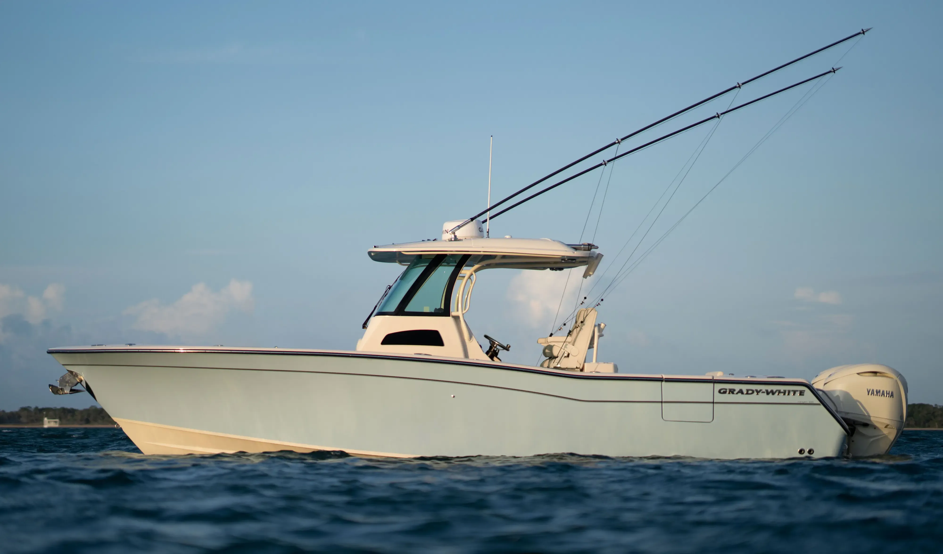
Grady White 306 Canyon30' 6"
View Specs & ReviewEighteen feet of tide, and the best deep anchorage on the Kenai
Yachting in Homer & Kachemak Bay
A Minted Location · Homer & Kachemak Bay, Alaska
Everything about running a boat in Kachemak Bay starts with the tide, and the numbers are not the ones you are used to. The tidal control station for this bay publishes a mean diurnal range of 18.04 feet, with a highest astronomical tide of 30.09 feet against a lowest of 0.91 — an extreme astronomical range of 29.18 feet. That is roughly six times a typical Florida range, on a boat you have to leave tied to a float.
Homer is where you base for that water. The Small Boat Harbor holds about 920 vessels with over 6,000 linear feet of transient moorage and another 500 transient spaces, it is first-come with yellow bull-rail marking, and the City is candid that rafting out is generally necessary. There is fuel on both sides of the entrance and a harbour officer on watch 24 hours.
Two numbers shape what you can bring. The City's Steel Grid — rated to 120 feet and 200 displacement tons — has been out of service since March 2024 for support pile degradation, and the private yard's limit is 32 feet of beam, which rules out a great many modern yachts before tonnage ever becomes the question.
Come here for Halibut Cove, Sadie Cove and the run to Seward — and plan on rafting out rather than on a berth waiting for you.
Where to keep a yacht in Homer & Kachemak Bay
The Homer Small Boat Harbor is the centre of everything. The City's 2026 moorage rate table is published in one-foot increments from 6 feet to 195 feet LOA, which is the largest boat the City prices. The harbour holds about 920 vessels with an additional 500 transient spaces, and the City publishes over 6,000 linear feet of transient moorage.
Transient policy is straightforward and slightly unforgiving: first-come, first-served, marked by yellow bull-rail, and the City states that rafting out is generally necessary. Float assignments run by LOA band and top out at a single open-ended "60′+" category. Monthly rates run $10.16 to $15.77 per foot. The harbour officer is on 24 hours, VHF 16 with working channels 10 and 68.
If you are thinking about a permanent stall, note the queue: the reserved-stall waitlist runs "one year up to as high as ten years."
Above the small boat harbour there are two commercial piers, and neither is yacht dockage. The Deep Water Dock takes 800 feet LOA and 65,000 displacement tons — a 345-foot outer face, 774 feet using dolphins, a −40-foot MLLW control depth and one 5-ton pedestal crane. Pioneer Dock takes 750 feet using mooring dolphins, at a 469-foot face and −40 feet MLLW, and is available when the State Ferry is not using it. These are cargo piers.
Fuel is at floating piers on both sides of the harbour entrance — gasoline, diesel and water, on VHF 16.
Across the bay, Seldovia has a state-owned, city-operated harbour taking about 150 vessels, with a 40-foot fuelling float for vessels under 70 feet. Berths are assigned by the harbourmaster on VHF 16.
Marinas
| Name | Where | Max yacht | Slips | Fuel |
|---|---|---|---|---|
| Homer Small Boat HarborThe City's 2026 moorage rate table is published in one-foot increments from 6 ft to 195 ft LOA, which is the largest boat the City prices. Float assignments run by LOA band and top out at a single open-ended 60 ft-plus category, with monthly rates of $10.16 to $15.77 per foot. Harbour officer on watch 24 hours, VHF 16 with working 10 and 68. The reserved-stall waitlist runs one year up to as high as ten years, so treat a permanent stall as a long-term proposition rather than a plan. | Homer Spit | 195 ft | 920 | Gasoline, diesel and water at floating fuel piers on both sides of the entrance |
| Homer Deep Water DockA cargo pier rather than yacht dockage, and the largest vessel figures published in the market: 800 ft LOA and 65,000 displacement tons. Outer face 345 ft, inside 240 ft, 774 ft using dolphins and 820 ft with dolphins and buoys; control depth −40 ft MLLW, deck +28 ft; one 5-ton pedestal crane. Built 1990, scheduled through the Port Director. | Homer Spit | 800 ft | — | — |
| Pioneer DockA 469-foot face at −40 ft MLLW, taking 750 ft using mooring dolphins. A U-shaped structure extends 445 feet offshore with a 32-foot deck, alongside the ferry terminal. Like the Deep Water Dock, it is a commercial berth rather than yacht dockage. | Coal Point, Homer Spit | 750 ft | — | Petroleum receipt and shipment; vessel fuelling |
| Seldovia Small-Boat HarborA state-owned, city-operated harbour across the bay from Homer, taking about 150 vessels. Two timber tidal grids; the lift is limited to 48 ft. Seldovia is also the tidal control station for Kachemak Bay, so it is the tide table you read for the whole market. | Seldovia, across Kachemak Bay | — | 150 | A 40-foot fuelling float for vessels under 70 feet at the city pier, 23 ft alongside |
Yacht clubs
| Name | Where | Max yacht | Slips | Fuel |
|---|---|---|---|---|
| Homer Yacht ClubA non-profit founded in 1983 to further education in the art of sailing and in boating safety. It runs without a clubhouse or docks, and its 2026 race schedule is on hold — check with the club before planning around a race date. | Homer | — | — | No |
Fuel docks
| Name | Where | Max yacht | Slips | Fuel |
|---|---|---|---|---|
| Harbour entrance fuel floatsThe City states that two fuel floats are located on either side of the harbour entrance. 907-235-8548 / 907-235-4071. | Both sides of the harbour entrance | — | — | Gasoline and diesel, plus water |
Figures are as each facility publishes them on its own site; blank cells mean the facility doesn't state a number. Confirm slip availability and current rates directly — or ask us to make the calls.
Cruising from Homer & Kachemak Bay
The tide is the page
The tidal control station for Kachemak Bay is Seldovia, and Alaska State Parks tells boaters to use the Seldovia tables. Read Homer off Seldovia.
| Seldovia (9455500) | Anchorage (9455920) | |
|---|---|---|
| Great Diurnal Range | 18.04 ft | 29.16 ft |
| Mean Range | 15.53 ft | 26.19 ft |
| MHHW | 24.83 ft | 35.43 ft |
| Highest Astronomical Tide | 30.091 ft | — |
| Lowest Astronomical Tide | 0.909 ft | — |
| Extreme astronomical range | 29.18 ft | — |
Eighteen feet of range where you tie up, and twenty-nine feet at the extreme. Shore power cable slack, dock ramps, scope and anything left on a float all need to be thought about in those terms.
Currents, and where you can actually anchor
From NOAA Coast Pilot 9: the flood sets up Kachemak Bay at 1 to 2 knots northeast, ebbing southwest to west, but "currents of up to 4 knots have been reported throughout the bay" and the currents at the mouth "are uncertain and may vary from place to place." Eddying currents are found immediately off the east side of Homer Spit. At the Deep Water Dock, "ebb currents set vessels off this dock and flood currents set vessels on, with the ebb's set off being stronger."
⚠️ Archimandritof Shoals extend west from the Spit, and 1996 soundings found least depths two fathoms less than charted in places.
Anchorage off Homer Spit is good more than a mile northeast of Homer Spit Light 3, in 10 to 23 fathoms over soft bottom — with NOAA's warning attached: "Due to the large tidal range in Kachemak Bay, mariners should exercise caution when anchoring."
The Captain of the Port guidelines for anchoring in Kachemak Bay are mandatory and unusually specific: a 24-hour bridge watch by an English-speaking deck officer, position and under-keel clearance confirmed at least every 15 minutes, and a second anchor ready. Above 34 knots propulsion goes on standby; above 48 knots you consider more scope, standby tugs, or putting to sea.
The individual anchorages, and their limits:
- Halibut Cove — the best deep anchorage in the bay, offering "excellent anchorage for large and medium-sized vessels in 23 fathoms with good holding bottom." ⚠️ Enter from the east only — the west entrance "is very foul and should only be used with local knowledge." A community float provides about 1,000 feet of berthing in 10 to 15 feet.
- Tutka Bay — NOAA is blunt: "no desirable anchorages for large vessels." An overhead cable clears 78 feet, and the lagoon takes boats to about 30 feet at high water over a sill.
- Jakolof Bay — a rock ledge reduces the clear channel to "about 250 feet or less"; overhead cable 51 feet.
- Sadie Cove — an overhead power cable at 170 feet across the mouth.
- China Poot / Moss Harbor — overhead cable 152 feet.
- Bear Cove — good anchorage in 12 fathoms, "although the williwaws are violent and the swinging room is constricted."
- Kachemak Bay State Park, Halibut Cove Lagoon — an 80-foot dock taking boats up to 26 feet, free and first-come. And decisively: "There are no public mooring buoys in Kachemak Bay State Park."
Pilotage is compulsory in Alaska state waters except for exempted vessels, with 36 hours' notice to the Southwest Alaska Pilots Association.
The runs
Coast Pilot gives Homer as about 158 miles to Seward and 143 miles to Anchorage. Transits north stay 3 miles off Bluff Point and 5 miles off Anchor Point, and NOAA notes that Anchor Point "has some of the heavier winds and higher seas on the Homer to Anchorage transit."
The season, and the ice
The freeze-free period "on the average begins in late March and ends in mid-November," and NOAA adds that "wind speeds requiring warnings to small craft are fairly common in winter and summer."
Then the part that decides the calendar: "From January to March, during severe cold spells, ice floes can clog the entrance channel and cause the harbor to freeze up to 4 to 6 inches thick." Ice also impedes the Deep Water Dock and the City Pier.
- Halibut Cove — South shore, six miles east of Homer SpitThe best deep anchorage in the bay — NOAA describes excellent anchorage for large and medium-sized vessels in 23 fathoms with good holding bottom. Enter from the east only; the west entrance is very foul and should only be used with local knowledge.
- Anchorage off Homer Spit — More than a mile northeast of Homer Spit Light 3Ten to 23 fathoms over soft bottom. NOAA's warning belongs with it: due to the large tidal range in Kachemak Bay, mariners should exercise caution when anchoring. The Captain of the Port guidelines here are mandatory and specific — 24-hour bridge watch, position and under-keel clearance confirmed at least every 15 minutes, and a second anchor ready.
- Sadie Cove — South shore of Kachemak BayAn overhead power cable crosses the mouth with 170 feet of clearance — the highest of the several cables in this bay, and the one most likely to matter to a sailing yacht.
- Tutka Bay and Jakolof Bay — South shore, west of Halibut CoveNOAA is blunt about Tutka: no desirable anchorages for large vessels, an overhead cable at 78 feet, and a lagoon that takes boats to about 30 feet at high water over a sill. At Jakolof a rock ledge reduces the clear channel to about 250 feet or less, under a 51-foot cable.
- Bear Cove — Head of Kachemak BayGood anchorage in 12 fathoms — with NOAA's qualifier that the williwaws are violent and the swinging room is constricted.
- Kachemak Bay State Park — Halibut Cove Lagoon dock — Halibut Cove LagoonAn 80-foot dock capable of mooring boats up to 26 feet. And the line that governs planning across the whole park: there are no public mooring buoys in Kachemak Bay State Park.
Service, refit & supplies
Shipyards & refit
| Name | Where | Max yacht | Dockage |
|---|---|---|---|
| Homer Steel GridOut of service. The City posted on 15 March 2024 that due to support pile degradation the Steel Grid will be closed until further notice. Rated to a minimum of 60 ft, a maximum of 120 ft and 200 displacement tons, it is the only city facility with a published large-vessel capacity — check its status with the Port Director before planning work around it. | Small boat harbour | 120 ft | — |
| Homer Large Vessel Haul-Out and Marine Repair FacilityRun as an Open Yard — in the City's own words, the City is simply facilitating the opportunity — and open only from roughly mid-September to mid-May, which puts it outside the cruising season. Book the dates you need with the Port Director well ahead. | Homer Spit | — | Scheduled in advance with the Port Director |
| Northern Enterprises Boat YardThe working yard. Limits are published as 32 feet of beam and 220 standard tons, with service tiers for 70T and 75T vessels, 200T vessels and boats on trailers across a 35-acre yard. The 32-foot beam is the real constraint here — it rules out many modern yachts before tonnage matters. | Kachemak Drive | — | — |
Chandleries & specialty suppliers
- On-site marine trades directory — Kachemak DriveThe marine trades cluster at the boat yard on Kachemak Drive: six welding firms, a machine shop, propeller service, fibreglass, paint and engine repair, netting and safety equipment. All are independent contractors engaged direct.
- City Ice Plant and Fish Dock — Southeast side of the small boat harbourA 382-foot face with 50-foot end berths at −20 ft MLLW and a 31-foot deck, eight cranes — six at two and a half tons and two at five — and ice at $130.90 a ton, year-round. Commercial seafood receipt and icing.
On the Homer & Kachemak Bay calendar
Homer Winter King Salmon Tournament — 4 April 2026. The date is the story: the 2026 edition was moved twice, from 21 and then 28 March, because of ice conditions in Homer Harbor. The 2025 tournament paid total cash awards of $198,526. A flagship event postponed twice in one year by harbour ice is a fair summary of the season here. Confirm the 2027 date with the organiser.
Homer Jackpot Halibut Derby — the organiser sets the dates each spring, so confirm them before you plan a trip around the derby.
The Homer Yacht Club, a non-profit founded in 1983 "to further education in the art of sailing and in boating safety," takes members by application and does not require sailboat ownership. Its 2026 race schedule is on hold — check with the club before planning around a race date.
For services, the marine trades cluster at the private boat yard on Kachemak Drive — six welding firms, a machine shop, propeller service, fibreglass, paint, engine repair, netting and safety equipment, all engaged direct as independent contractors.
Yachts we'd shortlist for Homer & Kachemak Bay
Reviewed the same way as everything on this site — specifications verified against the builder's own numbers.
Frequently Asked Questions
How big is the tide in Homer and Kachemak Bay?
Very large. The tidal control station for Kachemak Bay is Seldovia, and Alaska State Parks tells boaters to use the Seldovia tables. Seldovia gives a Great Diurnal Range of 18.04 feet and a mean range of 15.53, with a highest astronomical tide of 30.09 feet against a lowest of 0.91 — an extreme astronomical range of 29.18 feet. That is roughly six times a typical Florida range. Anchorage, at the head of Cook Inlet, is larger still at 29.16 feet diurnal. Plan shore power slack, dock ramps and scope around those figures.
Where is the best anchorage in Kachemak Bay?
Halibut Cove, six miles east of Homer Spit, which NOAA describes as affording excellent anchorage for large and medium-sized vessels in 23 fathoms with good holding bottom, plus about 1,000 feet of community-float berthing. Enter from the east only — the west entrance is very foul and should only be used with local knowledge. Elsewhere the picture is thinner: NOAA states Tutka Bay has no desirable anchorages for large vessels, Bear Cove has violent williwaws and constricted swinging room, and there are no public mooring buoys anywhere in Kachemak Bay State Park.
Can a large yacht be hauled out in Homer?
Not easily, and the constraint is beam rather than weight. The private yard on Kachemak Drive publishes limits of 32 feet of beam and 220 standard tons, and 32 feet rules out many modern yachts before tonnage matters. The City's Steel Grid, the only municipal facility with a published large-vessel capacity at 120 feet and 200 displacement tons, has been closed since 15 March 2024 for support pile degradation. The City's Large Vessel Haul-Out runs as an open yard and is open only from roughly mid-September to mid-May — outside the cruising season. For anything larger, plan the haul in Seward.
What is the largest yacht that can moor in Homer?
The City's 2026 moorage rate table is published in one-foot increments from 6 to 195 feet LOA, and 195 ft is the largest boat the City prices. Transient moorage is first-come, marked by yellow bull-rail, and rafting out is generally necessary, so confirm a berth for a big boat with the harbour officer on VHF 16 before you sail. Above the small boat harbour the Deep Water Dock takes 800 feet and 65,000 displacement tons, and Pioneer Dock 750 feet using dolphins — but both are cargo piers rather than yacht dockage.
Can you take a private boat to the restaurant at Halibut Cove?
No, and this is worth knowing before you plan an evening around it. The region's most famous boat-in restaurant does not take private vessels. Access is by the operator's own ferry on a round trip booked at its Homer Spit office, the island it sits on is privately owned, and the operator states that water taxis do not service it unless you have overnight accommodation on the island. The season runs 23 May to 6 September 2026. In Homer itself, dining works from a slip: take a berth in the small boat harbor and walk.