
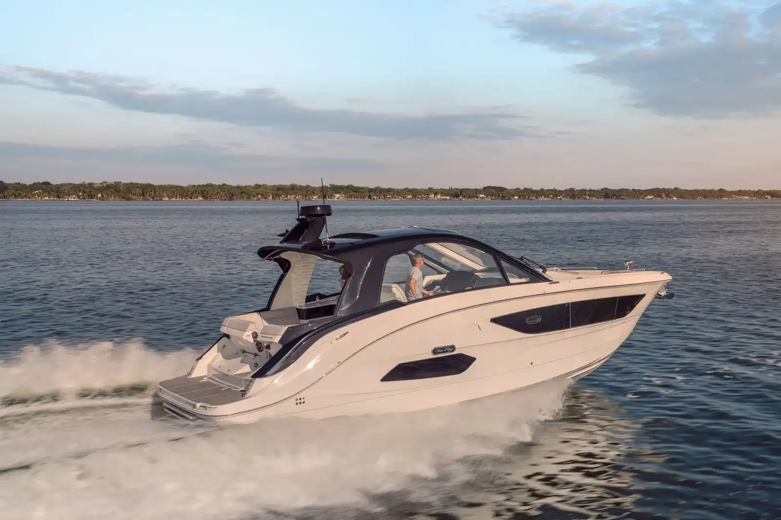
Sea Ray Sundancer 37037'8" (11.48 m)
View Specs & ReviewThe nation's oldest port — Matanzas to Vilano Beach
Yachting in St. Augustine
A Minted Location · St. Augustine, Florida
Every boat running the Atlantic coast eventually plans around St. Augustine — the nation's oldest port, with a city-run marina holding the middle of it. The Municipal Marina berths vessels to 200 feet at $2.50 to $4.25 a foot, a hundred yards south of the Bridge of Lions; the city backs it with three mooring fields and a $5-an-hour day dock, answered on VHF 16 and 71, that puts the historic district a dock line away. The Coast Pilot writes the fine print: the inlet's shoals shift enough that even yachts without local knowledge are advised to take a pilot, arranged through that same dockmaster.
Minted Yachts runs this coast with buyers, and everything below comes from each facility's or agency's own published information — the same standard behind every yacht review on this site.
For an owner, St. Augustine is a bayfront and two rivers: the Matanzas seawall downtown, the Tolomato north past Camachee Cove to the Vilano restaurant docks, and the working San Sebastian where the yards still haul boats. Sixty-five feet of fixed clearance carries the whole Intracoastal run south past Marineland to Palm Coast.
Where to keep a yacht in St. Augustine
St. Augustine dockage sorts by river. The bayfront is the city's: the Municipal Marina's berths to 200 feet, the hourly day dock, and the San Marco and Menendez mooring fields flanking the Bridge of Lions. The inlet side is private and quick to sea — Camachee Cove's 200-plus slips on the Tolomato less than a mile inside the inlet, and Conch House's 200 slips on Salt Run about 3,000 feet from it, no bridges between. The San Sebastian is the working river: Oasis Boatyard's $2-a-foot wet slips, the yards, and River's Edge under its new name. And the run south stages through town-owned Marineland and Palm Coast Marina — by its own claim the only fuel stop between Daytona and St. Augustine. Figures below are what each facility or agency publishes about itself.
Marinas
| Name | Where | Max yacht | Slips | Fuel |
|---|---|---|---|---|
| St. Augustine Municipal MarinaThe signature cruiser stop on this coast — city-run, 14 ft alongside (2014 report), free Wi-Fi, pump-out and water, with inlet pilots arranged through the dockmaster (904-825-1026, 24 hours notice). House rules from its own pages: 3-month maximum stay in any 6-month period, $300,000 liability coverage beyond 30 days, and long-term dockage limited to the South Dock (49 ft max, $21/ft/month). | Downtown bayfront — 111 Avenida Menendez, 100 yards south of the Bridge of Lions | 200 ft | — | Gas & diesel — deep-water fuel dock per the city; the Coast Pilot lists fuel at the berths |
| Camachee Cove Yacht HarborThe inlet-side basin: 200-plus wet slips by its own count with about 12 ft on the approach, ringed by on-site marine trades — its own site carries Suntex branding while the Port Authority's directory lists Windward as operator, so confirm with the office. The Coast Pilot places berths, fuel, water, ice and pump-out here, east side of the Tolomato north of the 65-ft Vilano fixed bridge. | Tolomato River — north of the Vilano bridge, under 1 mile from the inlet | — | 200 | Ethanol-free gas & diesel — fuel dock open to the public |
| Conch House MarinaTwo hundred wet slips about 3,000 feet from the inlet and the ICW, with the resort's restaurant and lounge on the property. The Salt Run approach is a privately marked channel reported at 5.5 ft (2002 report), per the Coast Pilot — which also lists engine and electronics repairs on this side of the run. | Salt Run, Anastasia Island — closest marina to the inlet, no bridges | — | 200 | Gas & diesel |
| River's Edge MarinaThe San Sebastian's marina at marker 29, listed on the Port Authority's government directory under its former name, Oyster Creek Marina. Its own website is offline, so this page carries no figures — verify dockage and services by phone before you plan around it. | San Sebastian River — marker 29 | — | — | — |
| Marineland MarinaThe town's own marina: 30/50-amp at the slips, 100-amp on the 100-ft T-head, showers, laundry, and 6.5 ft in the channel after dredging by the town's account — the Coast Pilot carries 7 ft (1993 report) in the privately marked channel. On fuel its two official sources part ways: the town's pages are silent while the Coast Pilot lists gasoline and diesel at Marineland — call 904.814.9886 before counting on it. | Town of Marineland — east side of the ICW, Mile 796.6 | 100 ft | 20 | — |
| Palm Coast MarinaThe staging stop for the run south — a Florida Clean Marina on a protected canal west of the waterway (the Coast Pilot charts the facility at Mile 802.8), with many restaurants within walking distance by its own description and the 65-ft Palm Coast fixed bridge just south. | Palm Coast — off the ICW at Mile 803 | — | — | Gas & diesel — “your only fuel stop between Daytona and St. Augustine,” by its own claim |
| Vilano Fishing Pier day dockSt. Johns County's free front door to the Vilano Town Center restaurants — the county publishes the floating dock without tie-up time limits, so treat it as a short-stop day dock and leave room for the next boat. | Vilano Beach — 260 Vilano Rd, at the Usina bridge on the Tolomato | — | — | — |
Yacht clubs
| Name | Where | Max yacht | Slips | Fuel |
|---|---|---|---|---|
| St. Augustine Yacht ClubThe club by the St. Augustine Light — clubhouse open Wednesday through Sunday, host of the annual Regatta of Lights, with a 150th Anniversary Regatta on its calendar; dockage and reciprocity by inquiry through the club. | Anastasia Island — 442 Ocean Vista Ave, by the lighthouse and Salt Run | — | — | — |
Figures are as each facility publishes them on its own site; blank cells mean the facility doesn't state a number. Confirm slip availability and current rates directly — or ask us to make the calls.
Cruising from St. Augustine
The inlet. St. Augustine Inlet is the only offshore door in this market, and the Coast Pilot is blunt about it: the entrance channel, protected by a jetty on the south side, changes frequently in depth and direction, dangerous shifting shoals extend a mile seaward, and the approach and channel buoys are not charted because they are moved to follow the best water. The book advises all vessels — yachts included — without local knowledge to take a pilot both entering and leaving, arranged through the city dockmaster with 24 hours notice, and to give the shore a berth of at least 2 miles to stay outside the sea buoy. Inside, the ICW crossing of the inlet (Miles 775–780) carried a severe-shoaling report (1998 report) — seek local knowledge.
The Bridge of Lions. The bascule at Mile 777.9 clears 18 feet closed and opens on the hour and half-hour from 7 a.m. to 6 p.m., skipping the 8 a.m., noon and 5 p.m. openings on weekdays (except federal holidays), per 33 CFR 117.261. Respect the current: the Coast Pilot notes tidal flow — especially the 1.5-knot ebb — runs at right angles to the bridge and has put several vessels into it.
The bayfront and Salt Run. The Matanzas River gives good anchorage above and below the bridge, but the Coast Pilot is careful to say it is not a harbor of refuge — strong northeasters and northwesters make the bar impassable even for small vessels. City rules apply at anchor: 100 feet off the mooring-field boundaries, 50 feet off any marine structure, clear of the channel — otherwise anchoring is free. Salt Run, behind the 161-foot St. Augustine Light, is the more protected water: hard sand bottom, best depths along the eastern shore, a privately marked channel reported at 5.5 feet (2002 report), with the city's cheapest mooring field and Anastasia State Park's 1,600-plus acres — kayak, SUP and sailboat rentals included — fronting it.
The San Sebastian. The working river: 6 feet controlling, 8 feet midchannel to the Kings Street Bridge (1996 report), daybeacon-marked, with marine railways to 90 feet and complete repair facilities at its boatyards, per the Coast Pilot. The same source calls it a good haven for small boats in stormy southeasterly weather — St. Augustine's own storm hole. Overhead cable south of the Kings Street Bridge: 66 feet.
The run south. Fixed clearance controls at 65 feet the whole way — the SR 312 span at Mile 780.3, Palm Coast's high-level bridge at Mile 803.0 and the Flagler Beach SR 100 span at Mile 810.6 — with one bascule between: Crescent Beach (SR 206), 25 feet closed, opening on signal. Matanzas Inlet is scenery, not a door: a shifting bar with breakers across the entire entrance in normal weather, about 3 feet with local knowledge (1983 report), and the ICW opposite the breakthrough near Mile 794 posts DANGER TURBULENT WATER signs with severe shoaling reported (1992 report). Fort Matanzas, a mile northwest of the inlet, is reached by the Park Service's free ferry from the visitor center — no ferry Tuesdays or Wednesdays. Marineland's municipal basin waits at Mile 796.6 (privately marked channel, 7 feet reported (1993 report), 6.5 feet alongside per the town), Bing's Landing's county boat basin serves the Hammock, and Palm Coast Marina at Mile 803 monitors VHF 16, working channel 69.
The Tolomato north. The Vilano Beach fixed bridge (65 feet, Mile 775.8) opens the north river, with flood to 1 knot and ebb to 1.5 running at angles to it. Camachee Cove's basin sits north of the bridge less than a mile from the inlet, and the county's Vilano pier day dock puts the beach-town restaurants a tie-up away.
- San Marco & Menendez Mooring Fields — Downtown seawall — flanking the Bridge of Lions, north (San Marco) and south (Menendez)The downtown fields are run by the Municipal Marina (904-825-1026): moorings are matched to vessel length, draft and visit duration, so an open ball is not an invitation — and the marina's launch boat serves the fields seven days a week at 10, 12, 2, 4 and 6.
- Salt Run Mooring Field — Salt Run — eastern shore of Anastasia Island, inside the inletThe budget field in the protected run behind the lighthouse — the city describes it plainly as shallow water with limited availability, minimal shore-side amenities and no water-tender service. The Coast Pilot's read: hard sand bottom, favor the eastern shore, privately marked channel at 5.5 ft (2002 report), with Anastasia State Park's beaches and paddle-craft rentals fronting the run.
- Matanzas River anchorage — Both sides of the Bridge of Lions, off the downtown seawallGood anchorage above and below the bridge per the Coast Pilot, with one honest caveat from the same page: this is not a harbor of refuge — strong northeast or northwest winds make the inlet bar impassable even for small vessels, so watch the forecast, not just the holding.
- San Sebastian River (storm refuge) — West side of town — daybeacon-marked working riverSt. Augustine's storm hole and its working waterfront in one river — shrimp boats, boatyards with railways to 90 feet, and a 66-ft overhead cable south of the Kings Street Bridge, all per the Coast Pilot.
Service, refit & supplies
Shipyards & refit
| Name | Where | Max yacht | Dockage |
|---|---|---|---|
| Oasis Boatyard & MarinaThe independent working yard on the San Sebastian — 45 slips, yard storage at $1.25/ft daily or $16/ft monthly, and mast storage, all at published rates on its own site (unrelated to the national marina-management chain of similar name). | San Sebastian River — Green marker 17, Lincolnville (256 Riberia St) | — | Yes — wet slips at $2.00/ft/day with 30 & 50-amp service |
| Camachee Yacht YardThe service yard inside the Camachee Cove basin, open Monday–Friday 7:30–4:30 at (904) 823-3641 — its site is mid-rebuild, so call for haul-out capacity and scheduling. | Camachee Cove basin — 3020 Harbor Drive | — | — |
On the St. Augustine calendar
Regatta of Lights — St. Augustine Yacht Club's annual lighted-boat regatta on the bayfront; schedule and entry on the club's own site (sayc.club/regatta-of-lights).
St. Augustine Yacht Club racing — the club by the lighthouse anchors the local sailing calendar and lists a 150th Anniversary Regatta among its programs; current schedule at sayc.club.
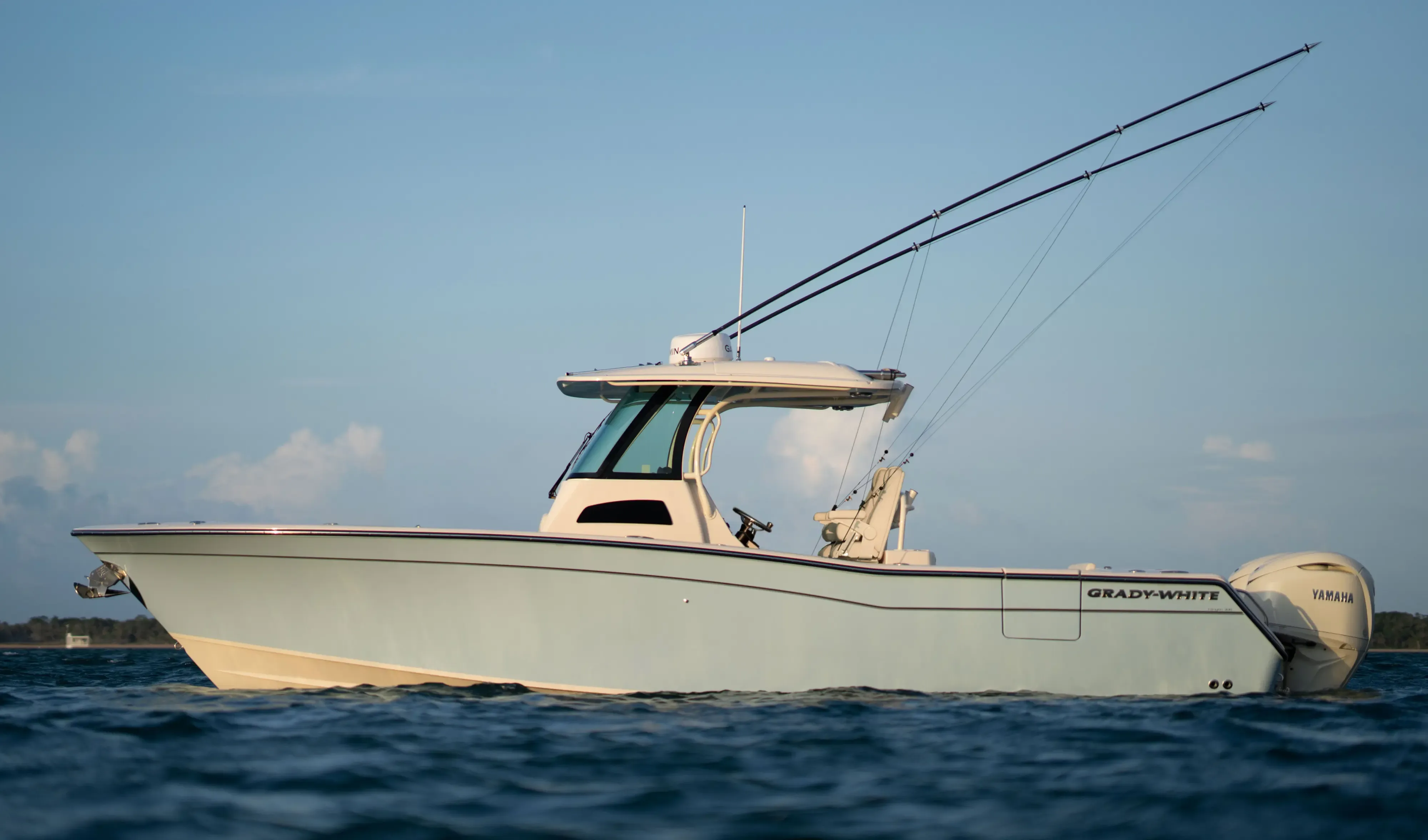
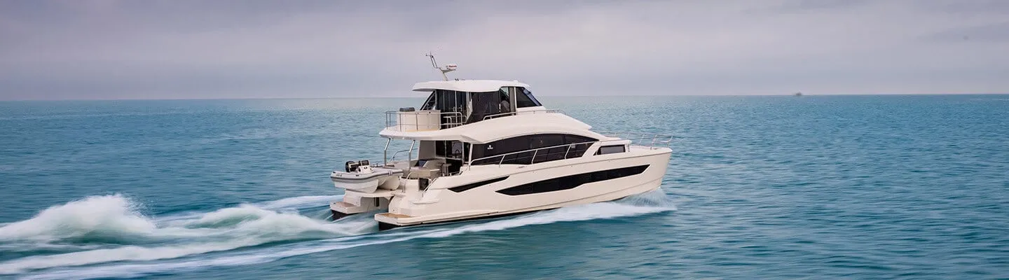
Yachts we'd shortlist for St. Augustine
Reviewed the same way as everything on this site — specifications verified against the builder's own numbers.
Frequently Asked Questions
What is the Bridge of Lions opening schedule?
The bascule clears 18 feet closed and, per 33 CFR 117.261, opens on signal except from 7 a.m. to 6 p.m., when it opens only on the hour and half-hour — and it need not open at 8 a.m., noon and 5 p.m. Monday through Friday except federal holidays. Weekends and holidays keep the hour/half-hour schedule. Time your approach for the current too: the Coast Pilot notes the 1.5-knot ebb runs at right angles to the bridge and has carried several vessels into it.
Is St. Augustine Inlet safe to enter?
Only with respect and current knowledge. The Coast Pilot states the entrance changes frequently in depth and direction, dangerous shifting shoals extend a mile seaward, and the approach and channel buoys are not charted because they're moved to follow the best water. It advises all vessels without local knowledge — yachts included — to take a pilot entering and leaving, arranged through the city dockmaster with 24 hours notice, and to give the shore a 2-mile berth outbound of the sea buoy. Inside, the ICW crossing of the inlet carried a severe-shoaling report (1998 report).
Where can I fuel between St. Augustine and Daytona?
Palm Coast Marina at ICW Mile 803 — which calls itself your only fuel stop between Daytona and St. Augustine on its own site — carries gas and diesel, monitors VHF 16 (working channel 69) and opens seven days, 7 to 5. In town, the Municipal Marina's deep-water fuel dock, Camachee Cove's public ethanol-free gas and diesel, and Conch House on Salt Run all sell fuel. At Marineland the record splits: the town's pages are silent on fuel while the Coast Pilot lists gasoline and diesel — call 904.814.9886 first.
Is St. Augustine a good stop for a boat running the coast?
It may be the best-organized stop on the Florida Atlantic: a city marina that berths 200-footers, arranges inlet pilots and answers VHF 16 and 71; three mooring fields with published rates; a storm-refuge river with working yards; and 65 feet of fixed clearance carrying you south past Marineland to Palm Coast's fuel dock. The trade-off is the inlet itself — shifting, uncharted-buoy water that rewards planning. Running this coast to find your next boat? Minted Yachts works it with buyers: TS@MintedYachts.com or +1 (404) 805-9819.
Where do boats haul out and get serviced in St. Augustine?
The San Sebastian River is the working waterfront — the Coast Pilot credits it with marine railways to 90 feet and complete repair facilities, on a 6-foot controlling depth (8 feet midchannel, 1996 report). Oasis Boatyard & Marina at green marker 17 publishes its rates outright: $2 a foot daily for its 45 wet slips, yard storage at $1.25 a foot daily or $16 monthly, mast storage included. At the inlet end, Camachee Yacht Yard works inside the Camachee Cove basin, Monday–Friday 7:30–4:30, at (904) 823-3641.
Where can I dock in downtown St. Augustine?
The St. Augustine Municipal Marina — the city's own facility at 111 Avenida Menendez, a hundred yards south of the Bridge of Lions. It berths vessels to 200 feet at $2.50 a foot (boats to 49 feet) up to $4.25 (150–200 feet), with 14 feet alongside (2014 report), fuel, free Wi-Fi, pump-out and water. Day-trippers get a $5-an-hour dock, four-hour maximum, first-come — call VHF 16 or 71 on approach. Dinghy dockage is $15 a day, and stays are capped at three months in any six.
Which St. Augustine restaurants can I reach by boat?
The Tolomato cluster says yes in its own words: Aunt Kate's invites you to tie up at its floating dock, Cap's on the Water lists its scenic dock among the dining options, and Beaches at Vilano posts boat dock and jet-ski parking. Conch House pairs its restaurant with its own Salt Run marina, and Captain's BBQ sits inside Bing's Landing park with the county's ICW boat basin. Downtown, O.C. White's and Harry's are a seawall walk from the city's $5-an-hour day dock — check local dockage options for the bayfront landmarks.
How do the St. Augustine mooring fields work?
The city runs three: San Marco north of the Bridge of Lions and Menendez south of it, both $35 a day or $620 a month transient ($15/$310 for St. Johns County residents), for vessels to 120 feet — plus Salt Run at $20 a day ($9 resident). Moorings are assigned by vessel length, draft and visit duration, so an open ball is not first-come; book through the Municipal Marina at 904-825-1026. A launch boat serves the fields seven days a week at 10, 12, 2, 4 and 6.