
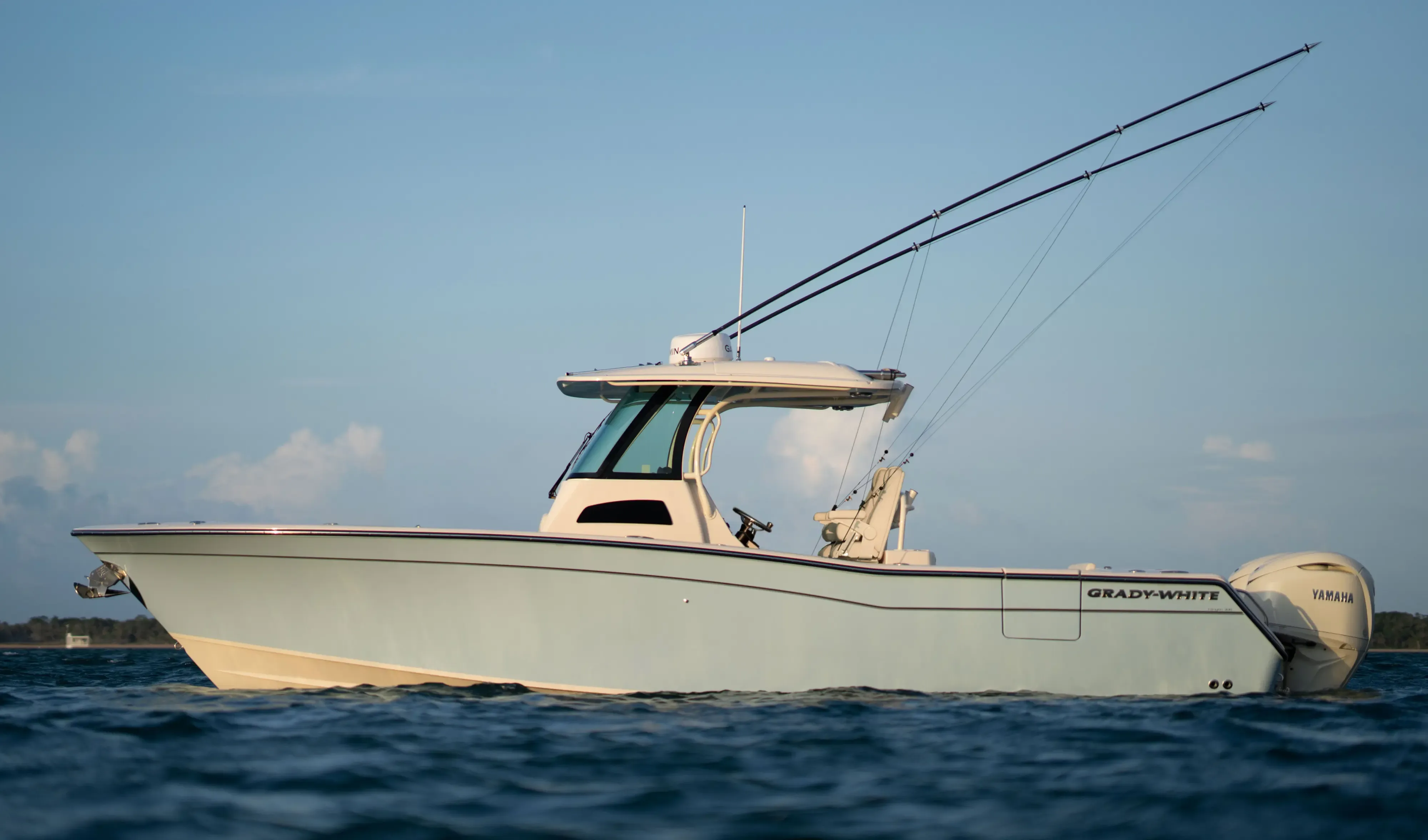
Grady White 306 Canyon30' 6"
View Specs & ReviewClear customs, take on fuel, and get on with the Inside Passage
Yachting in Ketchikan
A Minted Location · Ketchikan, Alaska
If you are bringing a boat down from Prince Rupert or up from Seattle, Ketchikan is where the paperwork happens and the tanks come back up. It is the first American port on the Inside Passage, it has a U.S. Customs office on the dock at Casey Moran Harbor, and the City's own harbour booklet puts the useful part plainly: Customs will meet you at your slip or at the fuel dock.
What Ketchikan is not is a place to keep a yacht. The trades here are commercial — welders, electronics shops, marine contractors, towing operators, stevedores — and yacht service is not part of the picture, so plan refit work somewhere else. The shipyard at Ward Cove is a genuinely serious facility, and its work is commercial, ferry and government tonnage rather than yachts.
So treat Ketchikan as a passage stop. The port itself is easy: Tongass Narrows runs about a knot and a half and you can enter on any state of tide. It is the water either side of it that wants respect.
Where to keep a yacht in Ketchikan
Ketchikan's harbours are run by the City, and the policy is the same across all of them: first-come, first-served, no reservations, with an open-moorage permit bought in advance. Every vessel registers at the Harbormaster's office at Bar Harbor, which also holds the only restrooms and showers in the City system.
Casey Moran Harbor is the one that matters to a visitor, because it has the Customs office on site and Harbor-owned shore power, plus 1,280 linear feet of open moorage. Maximum length is given as 90 ft on the harbour page and 80 ft on the City's open-moorage rate table — plan against 80 ft and call the Harbormaster on VHF 73 before you commit a boat near that size.
Thomas Basin publishes 65 ft and carries a tidal gridiron rated to 100 tons. Hole-in-the-Wall, eight or nine miles south, takes 40 ft on open moorage, and the City states plainly that it has no potable water and no electricity.
Two private options sit outside the City system. Refuge Cove Marina publishes a 110-foot slip — the longest berth in Ketchikan — but was showing "full for 2026 season", and its water is described by the operator as non-potable, for rinsing only. Doyon's Landing describes itself as a private yacht facility with a 400 ft floating steel dock and on-site fuelling, and says it can "accommodate virtually any size super yacht." Length, depth, power and rate are all settled on the telephone rather than on its website, so make the call before you plan around it.
⚠️ The tide here runs to −4.37 ft below MLLW, well under chart datum. Depth at a Ketchikan berth comes off the chart and the tide table rather than off a marina page — confirm the water where you intend to lie with the Harbormaster on VHF 73 before you take the slip.
Marinas
| Name | Where | Max yacht | Slips | Fuel |
|---|---|---|---|---|
| Casey Moran Harbor (City Float)The visitor's harbour, and the reason is Customs: a U.S. Customs office on site, Harbor-owned shore power and 1,280 linear feet of open moorage. The 14 reserved slips are capped at 20 ft. Maximum length is given as 90 ft on the harbour page and 80 ft on the City's open-moorage rate table — plan against 80 ft and confirm with the Harbormaster on VHF 73 before committing a boat near that size. | Downtown, west of centre near the tunnel | — | 14 | Not on site — Petro Marine is the nearest |
| Thomas Basin202 reserved stalls including 32 held by the Ketchikan Yacht Club, plus 417 linear feet of open moorage, and a published maximum length of 65 ft. Carries a tidal gridiron rated to 100 tons and a pump-out at the corner of Floats 1 and 5. Downtown, and the closest berth to Creek Street. | Downtown, by Creek Street | 65 ft | 202 | Not on site — Petro Marine is a short run either end of town |
| Bar Harbor (North and South)Floats 1 and 3–9 south, 10–17 north. Holds the Harbormaster's office and the only restrooms and showers in the City harbour system, with pump-outs between Floats 10/11 and 7/8. Length and availability come from the Harbormaster on VHF 73. | 2933 Tongass Avenue — the Harbormaster's office | — | — | — |
| Hole-in-the-Wall HarborBuilt in 1969, eight or nine miles south of town. 25 reserved stalls at 38 ft, and 40 ft on the 60 linear feet of open moorage. The City states plainly that there is no potable water and no electricity here — arrive with full tanks and a charged bank. | 7500 South Tongass Highway, about eight to nine miles south | 40 ft | 25 | Not on site |
| Refuge Cove MarinaA 110-foot slip, the longest berth in Ketchikan, alongside four slips for boats to 32 ft and ten spaces for boats 40 ft and over. 30 and 50 amp power. Read the water line carefully: what is on offer is fresh non-potable water for rinsing the boat, not for filling tanks. Eight and a half miles north of downtown. | 8119 North Tongass Highway, eight and a half miles north of downtown | 110 ft | — | — |
| Doyon's LandingA private yacht facility offering safe, secure moorage on a 400 ft floating steel dock, with shore power, water and refuse. Its own words are that it can accommodate virtually any size super yacht; maximum length, depth, power rating and rate are all settled on the telephone. Make the call before you plan around it. | 1716 South Tongass Highway | — | — | Yes — on-site fuelling |
Yacht clubs
| Name | Where | Max yacht | Slips | Fuel |
|---|---|---|---|---|
| Ketchikan Yacht ClubHolds 32 stalls in Thomas Basin, all belonging to members, and the club's remote location means it does not run reciprocity agreements with other yacht clubs. Guest moorage is $60 per vessel, or $20 per person for facility use if you are moored elsewhere. | Head of Float 2, Thomas Basin | — | 32 | Not on site |
Fuel docks
| Name | Where | Max yacht | Slips | Fuel |
|---|---|---|---|---|
| Petro Marine — South EndSummer 07:00–19:00 daily; winter 08:00–17:00 daily. 907-225-2106. | 1100 Stedman Street, near the Coast Guard base | — | — | Marine fuel and propane |
| Petro Marine — North EndSummer 07:00–19:00 daily; winter 08:00–17:00 Monday to Saturday, closed Sundays. 907-225-1731. Plan a winter fuel stop around that Sunday closure, or use the South End dock. | North end, near the shipyard | — | — | Marine fuel and propane |
Figures are as each facility publishes them on its own site; blank cells mean the facility doesn't state a number. Confirm slip availability and current rates directly — or ask us to make the calls.
Cruising from Ketchikan
The tide here is the first thing to plan around. NOAA's Ketchikan station publishes a Great Diurnal Range of 15.45 ft, and the 2026 predictions run from a high of 19.05 ft above MLLW on 24 December to a low of −4.37 ft on 16 June — a 23.4 ft predicted annual swing. Shore power cables, dock ramps and anything you leave on a float all need to be thought about in those terms.
Ketchikan itself is an easy port to enter, and that is exactly why the passages around it catch people out. Tongass Narrows east of the airport maxes at about 1.5 knots. Then look at what is waiting a little further on, from NOAA's August 2026 current predictions:
- Snow Passage Narrows — 4.24 kn flood, 3.92 kn ebb
- Snow Passage north entrance — 4.31 kn ebb
- "The Narrows" south of Wrangell — 4.83 kn ebb
- Wrangell Narrows off Petersburg — 4.53 kn flood
- Behm Narrows, on the Misty Fiords route — 2.07 kn ebb
Snow Passage and Wrangell Narrows both want a slack-water or fair-tide transit. A boat that treats Tongass Narrows as representative of the region will meet four and a half knots on the nose somewhere north of here.
Misty Fiords National Monument is the cruising ground, and it is enormous — 2,142,243 acres, with Behm Canal as the main waterway through the heart of it. The Forest Service maintains thirteen public recreation cabins and five three-sided shelters, and notes a mooring buoy in Punchbowl Cove, Rudyerd Bay. Access is by boat or floatplane only.
Customs is the practical reason to be here. Ketchikan is a designated CBP small-boat reporting location and the ROAM app is accepted at Ketchikan and Wrangell; ROAM replaced the Small Vessel Reporting System in 2018. The U.S. Customs Office is on 907-225-2254.
- Punchbowl Cove, Rudyerd Bay — Misty Fiords National Monument, off Behm CanalThe Forest Service notes a mooring buoy in Punchbowl Cove, and access to it is by boat or floatplane. Moorings are scarce in the monument, so arrive ready to anchor rather than counting on finding another.
- Behm Canal and Walker Cove, Misty Fiords — East and north of Revillagigedo IslandThe monument runs to 2,142,243 acres with thirteen public recreation cabins and five three-sided shelters, and the Forest Service describes Behm Canal as the major waterway through the heart of the area. Behm Narrows on the route ebbs at 2.07 kn.
Service, refit & supplies
Shipyards & refit
| Name | Where | Max yacht | Dockage |
|---|---|---|---|
| Vigor Ketchikan ShipyardBy far the largest marine facility in southeast Alaska: two drydocks at 10,000 and 3,600 long tons, Drydock #1 taking 433 ft (132 m), a 1,000 ft pier, three cranes to 150 tonnes and a 130,000 sq ft covered shop. Know what it is, though — the work here is shipbuilding and repair for commercial, ferry and government vessels, not yachts. | Ward Cove, north end | 433 ft | — |
| City tidal grids, crane and drive-down rampCareening and loading facilities rather than a haul-out — there is no lift, and the pricing says so: the City publishes a grid-iron fee of $2.45 per foot per 24 hours, a crane at $35.42 for the first two hours and a drive-down ramp at $1.12 per foot per day. | Across the City harbours | — | Reservation only — 907-228-5632 |
On the Ketchikan calendar
The cruise calendar defines the season here. The official 2026 Ketchikan Cruise Ship Calendar, published jointly by the visitors bureau, Cruise Line Agencies of Alaska and the City's own Ports & Harbors Department, runs 12 April to 9 October 2026, with no calls at all from November through March. Harbormasters are on duty seven days a week, 06:00–22:00 April to September and 08:00–17:00 October to March, on VHF 73 or 16.
Then there is the rain. NOAA's 1991–2020 normals for Ketchikan give annual precipitation of 149.54 inches, with 232.6 days a year recording at least a hundredth of an inch and 50.0 days a year recording an inch or more. October is the wettest month at 18.37 inches; June is the driest at 7.02. The peak daily maximum temperature is 64.7 °F, in August. That is the trade-off for the scenery, and it is worth knowing before you pick your dates.
Blueberry Arts Festival, in its 51st year, holds its opening reception on 31 July 2026 — the organisers describe it as always the first weekend of August — with the art exhibit running 10–14 August 2026. The 52nd runs 6–8 August 2027.
Yachts we'd shortlist for Ketchikan
Reviewed the same way as everything on this site — specifications verified against the builder's own numbers.
Frequently Asked Questions
Can a large yacht be hauled out in Ketchikan?
Not as a yacht. Vigor's Ketchikan Shipyard at Ward Cove is a genuinely major facility — two drydocks at 10,000 and 3,600 long tons, 433 ft in Drydock #1, a 1,000 ft pier and cranes to 150 tonnes — and it is the nearest large-vessel repair yard to Juneau, but the work there is shipbuilding and repair for commercial, ferry and government vessels rather than yachts. The City's own facilities are careening grids and a crane, priced per foot because there is no lift: $2.45 per foot per 24 hours on the grid, $35.42 for the first two hours on the crane. For yacht yard work, plan on a haul-out further south.
How strong are the currents around Ketchikan?
Ketchikan itself is easy — Tongass Narrows east of the airport peaks at about 1.5 knots on NOAA's 2026 predictions, so you can enter on any state of tide. The passages nearby are a different matter. Snow Passage Narrows runs 4.24 knots on the flood and 3.92 on the ebb, the north entrance ebbs at 4.31, the Narrows south of Wrangell ebbs at 4.83, and Wrangell Narrows off Petersburg floods at 4.53. Behm Narrows, on the Misty Fiords route, ebbs at 2.07. Snow Passage and Wrangell Narrows both want slack water or a fair tide. Treating Tongass Narrows as representative of the region is the mistake to avoid.
Where do you clear customs by boat in Ketchikan?
At Casey Moran Harbor downtown, which has a U.S. Customs office on site. Ketchikan is a designated CBP small-boat reporting location and the ROAM app is accepted here and at Wrangell, having replaced the Small Vessel Reporting System in 2018. The City's harbour booklet adds the detail that matters most: Customs will meet you at your slip or at the fuel dock. The U.S. Customs Office is on 907-225-2254.
How much does it rain in Ketchikan?
A great deal. NOAA's 1991–2020 climate normals give Ketchikan an annual precipitation of 149.54 inches, with 232.6 days a year recording at least a hundredth of an inch and 50.0 days recording an inch or more. October is wettest at 18.37 inches and June driest at 7.02. The peak daily maximum temperature is 64.7 °F, in August. The cruise season runs 12 April to 9 October, and nothing calls here from November through March — pack for the rain and plan around the middle of the summer.
What is the largest yacht that can moor in Ketchikan?
The longest berth in town is a 110-foot slip at Refuge Cove Marina, eight and a half miles north of downtown, though it was showing full for the 2026 season. Within the City system, Thomas Basin publishes 65 ft, and Casey Moran is given as 90 ft on the harbour page and 80 ft on the open-moorage rate table — plan against 80. Doyon's Landing advertises that it can accommodate virtually any size super yacht on a 400 ft floating steel dock, with maximum length, depth and power settled on the telephone. Depth anywhere in Ketchikan comes off the chart and the tide table rather than a marina page, so confirm the water at your berth with the Harbormaster on VHF 73.