
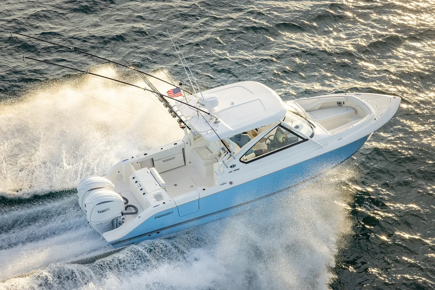
Pursuit D28630' 0"
View Specs & ReviewThe river, the islands, and the lock to Okeechobee
Yachting in Fort Myers & Cape Coral
A Minted Location · Fort Myers & Cape Coral, Florida
If your idea of ownership is three cruising grounds off one dock — a river that crosses Florida, a chain of barrier islands, and the open Gulf — Fort Myers and Cape Coral are where that math works. The Coast Pilot puts the city 14 miles up the Caloosahatchee behind a well-marked dredged channel with an 8-foot midchannel controlling depth (1995 survey), and the same water is Mile 135 of the Okeechobee Waterway: an 8-foot federal project to Fort Myers, 10 feet to Punta Rassa, 12 feet to the Gulf, with five locks working 0600 to 2130 daily on VHF 16.
Minted Yachts works this coast from the River District to the passes, and everything below comes from each facility's or agency's own published information — the same standard behind every yacht review on this site.
This is also a waterfront rebuilding on its own terms, and the timeline is public: Yacht Harbour Marina at South Seas reopened in May 2025 with storm-hardened power pedestals, Legacy Harbour's full 131-slip rebuild is projected to open in the first quarter of 2026, and Cape Coral holds both federal permits for its Yacht Basin renovation. The owners arriving now are buying into the newest dock infrastructure on the Gulf coast.
Where to keep a yacht in Fort Myers & Cape Coral
Dockage here sorts by which water you want outside the cockpit. Downtown Fort Myers is river dockage on the Okeechobee Waterway — Legacy Harbour's ground-up rebuild at Marker 49 is the marquee berth, and the city's FY24 strategic plan commits to redeveloping the historic Fort Myers Yacht Basin in partnership with a marina operator, so watch the city's channels for its return. Cape Coral clusters at the river mouth: Tarpon Point's 261 slips off Marker 92 and Safe Harbor Cape Harbour's basin, plus the city's own facilities — Rosen Park's liveaboard slips today, the Yacht Basin's permitted rebuild next. The islands answer with resort marinas — Sanibel Marina by the lighthouse, 'Tween Waters and South Seas on Captiva — and Fort Myers Beach concentrates the big-boat tonnage on San Carlos Island behind Matanzas Pass. Figures below are what each facility publishes about itself.
Marinas
| Name | Where | Max yacht | Slips | Fuel |
|---|---|---|---|---|
| Legacy Harbour MarinaThe River District's marquee berth, being rebuilt from the ground up after Ian: 131 slips for 40- to 150-footers with single- and three-phase power, in-slip pump-out and fire suppression, at 26°38.6'N 81°52.5'W on the Waterway. | Downtown Fort Myers — Okeechobee Waterway Marker 49, 2044 W First St | 150 ft | 131 | — |
| Tarpon Point MarinaThe Westin resort marina in a protected basin of roughly 8 to 12 feet, 261 slips including 46 brand-new — its own page cites both 450 and 570 feet of complimentary two-hour restaurant side-tie on G-Dock; call the dockmaster. | Cape Coral — Glover Bight, off ICW Dayboard Marker 92 | 75 ft | 261 | Gas & diesel; pump-out (public for a fee, free for tenants) |
| Safe Harbor Cape HarbourThe south Cape's gated basin: wet slips 35 to 60 feet, dry storage for 20- to 34-footers (12-ft height, 6-ton limit), pool, bathhouses and a waterside restaurant row at the marina. | Cape Coral — Cape Harbour, 5828 Cape Harbour Dr | 60 ft | — | ValvTect gas & diesel |
| Cape Coral Yacht BasinThe city marina, closed since Ian and now fully permitted for reconstruction — final design 60% complete and expected done by February 2026, with the Boathouse and docks prioritized. Historic approach carried 5 feet (2002 report); the channel is privately marked and VHF 16 is monitored. | Cape Coral — Yacht Club Community Park, west of Redfish Point | — | — | — |
| Rosen Park MarinaThe city's operating marine facility while the Yacht Basin rebuilds: 20 liveaboard slips plus the Marine Services Division's improved boat ramps at Rosen Park, Horton Park, BMX and Burnt Store. | Cape Coral — Rosen Park, off the Caloosahatchee | 40 ft | 20 | — |
| Sanibel MarinaSanibel's full-service basin by the lighthouse: fuel, pump-out, wet and dry storage and hull/engine/electronics repairs, with 6 feet reported in the approach channel (2015 report) — and Gramma Dot's on the docks. | Sanibel Island — basin a mile west of Point Ybel, near the lighthouse | 80 ft | — | Rec 90 gas & diesel, both ValvTect |
| Port Sanibel MarinaEight stationary docks with finger piers for boats to 65 feet on the mainland side of the causeway — 30/50-amp power, ship store and dry storage, with the Coast Pilot reporting 5 feet in the approach and 6 alongside (2012 report), VHF 16. | Punta Rassa — 14341 Port Comfort Rd, mainland side of the Sanibel Causeway | 65 ft | — | Fuel dock 8:00–4:30 |
| 'Tween Waters MarinaThe resort marina at 'Tween Waters Island Resort at 26°30'37.7"N 82°11'20.6"W — slip guests get the beach, pools, restaurants and spa, with daily electric published at $8 (30A), $16 (50A) and $32 (100A) plus tax. | Captiva Island — bayside, on the Roosevelt Channel | — | — | Gas & diesel; pump-out station |
| Yacht Harbour Marina at South SeasCaptiva's storm-hardened comeback: new pedestal risers keep power above surge level, fuel lines rerouted, and the resort's own reopening notice pictures everything from a center console to a 130-foot yacht. The privately marked channel off Mile 13.7 reported 5 feet (2015 report). Harbourmaster 855-777-3625. | Captiva Island — north end, Pine Island Sound side, ICW Mile 13.7 | — | — | Fuel, live & frozen bait, water, ice |
| Salty Sam's MarinaThe area's largest wet-slip marina by its own claim: over 100 slips from 40 to 100 feet on nearly 3,700 linear feet of new concrete floating docks, hurricane-rated to 130 mph loaded. Its dry stack page cites both 44 and 45 feet as the max boat length (to 27,000 lbs) — call for your boat. Parrot Key Caribbean Grill and the Original Shrimp Dock Bar & Grill are on site. | Fort Myers Beach — San Carlos Island, 2500 Main St, on Matanzas Pass | 100 ft | — | — |
| Gulf Star MarinaThe 'SMART Marina' on Fishermans Wharf: automated indoor dry-stack storage in four size classes to 40 feet, with launch scheduled from your phone — steps from Doc Ford's and the Matanzas Pass waterfront. | Fort Myers Beach — 708 Fishermans Wharf, San Carlos Island | 40 ft | — | Fuel top-off service offered |
Yacht clubs
| Name | Where | Max yacht | Slips | Fuel |
|---|---|---|---|---|
| Royal Palm Yacht ClubOver 70 years on the river — the private club central to Fort Myers and Cape Coral, with summer reciprocity at local country clubs and extended privileges at clubs abroad; membership covers spouse and children under 21. | Fort Myers — 2360 W First St, on the Caloosahatchee | — | — | — |
Figures are as each facility publishes them on its own site; blank cells mean the facility doesn't state a number. Confirm slip availability and current rates directly — or ask us to make the calls.
Cruising from Fort Myers & Cape Coral
The river. Fort Myers sits 14 miles above the mouth on a channel the Coast Pilot calls well marked by lights, daybeacons and ranges — 8 feet midchannel (1995 survey), with a diurnal tide of 2.4 feet at Punta Rassa fading to 1.2 feet at the city. The number that actually plans your boat is overhead: 55 feet is the governing fixed clearance through town (the Caloosahatchee, Cape Coral and I-75 spans all carry 55 feet; the Edison Memorial 56), and regulated manatee speed zones run from San Carlos Bay to the Edison Memorial Bridge and up the Orange River — the FWC's Lee County zone maps are the reference.
The lock and the crossing. Upriver, the Okeechobee Waterway turns cross-state: statute miles, a 49-foot minimum bridge clearance for the full route, and the Franklin Lock at Mile 121.4 — 400 feet long, 56 wide, 14 over the sill — as the gate where tidewater ends. All five locks work 0600 to 2130 daily on VHF 16, the SFWMD figures about 15 minutes to lock through, and the Coast Pilot's caution is real: these locks discharge Lake Okeechobee water, and released water builds strong currents at the approaches.
San Carlos Bay and the causeway. The bay is mostly shoal — 1 to 6 feet outside the channels — and matters as the junction of river, Gulf ICW and open water; deep-draft vessels anchor outside in 15 to 25 feet, sticky bottom, southeast of Sanibel Island Light. The Sanibel Causeway's A-span gives 70 feet over the main channel, the big-boat gate between river and Gulf. Where the ICW crosses toward Pine Island Sound, the Coast Pilot documents strong crosscurrents between Daybeacons 2A and 8, worst on the ebb of spring tides — the stretch locals call the Miserable Mile, and average current off Point Ybel runs a full knot.
The islands. Sanibel's inside channel carries a reported 9 feet (1982 survey) from Point Ybel toward Pine Island Sound, and J.N. "Ding" Darling refuge waters are slow-speed minimum-wake everywhere, with a no-motor wilderness zone and a pole-and-troll zone on Wulfert Flats where only electric motors stay wet. Blind Pass between Sanibel and Captiva changes frequently under a 7-foot fixed span — small-boat water. Redfish Pass at Captiva's north end is the winding, strong-current Gulf entrance the Coast Pilot says not to attempt without local knowledge. Farther up the Sound, Captiva village publishes fuel, water and pump-out off Mile 12.1 (6 feet reported, 2012), and the piers at Cabbage Key off Mile 21.5 take boats to 75 feet.
Fort Myers Beach and Estero Bay. Matanzas Pass is dredged and marked to the turning basin off the San Carlos Island shrimp terminals, but the entrance aids get relocated to chase best water — the Coast Pilot advises local knowledge — under a 65-foot fixed span at Estero Island. South of the beach, Estero Bay is Florida's first aquatic preserve (1966): thin water outside the channels, prop-scar fines, and Gulf entrances at Big Carlos Pass (23-foot bascule clearance, shoaling to bare reported 2016) and New Pass (severe 2016 shoaling) that both demand current local knowledge.
- Matanzas Pass Mooring Field — Fort Myers Beach — Matanzas Pass, west of the Sky BridgeThe region's flagship municipal mooring field: 89 balls with weekly pump-out by the Town's own vessel, $100,000 liability insurance required, and two public dinghy docks — under the bridge on the island side and at Tropical Shores Way. Harbor office 239-224-4118.
- San Carlos Bay deep-draft anchorage — Outside the bay — 3 to 4 miles southeast of Sanibel Island LightThe bay itself is mostly shoal — 1 to 6 feet outside the channels — so the Coast Pilot's anchorage for deeper boats sits outside, southeast of the 98-foot Sanibel Island Light; average current off Point Ybel runs 1.0 knot.
- Glover Bight — Cape Coral — beside Tarpon Point, off the Marker 92 channelLocals' calm-water anchoring pocket in the mangroves behind Tarpon Point, with the city's Glover Bight boardwalk at Rotary Park on the shore (partially closed post-Ian, observation towers closed) — no agency publishes depths or limits for the bight itself.
- Estero Bay Aquatic Preserve — Behind Fort Myers Beach, south toward BonitaSkinny-water wilderness in the region's back yard: seagrass damage draws fines up to $1,000, the Little Estero Island, Matanzas Pass Island and Big Carlos Pass CWAs are closed behind their buoys, and public launches sit at Lovers Key and Koreshan state parks. FDEP: 239-530-1001.
Service, refit & supplies
Shipyards & refit
| Name | Where | Max yacht | Dockage |
|---|---|---|---|
| Stokes MarineThe canal-home infrastructure trade: boat lifts, docks, boat houses, seawalls and rip rap, design-build with permitting — 'Southwest Florida's most trusted marine contractor for over 20 years' by its own line, and the region's Golden Boat Lifts dealer. | Fort Myers — serving Cape Coral, Sanibel, Captiva, Fort Myers Beach & Estero | — | — |
On the Fort Myers & Cape Coral calendar
The rebuild calendar — the season this coast is actually watching. Yacht Harbour Marina at South Seas reopened in May 2025 with elevated power pedestals and rerouted fuel lines; Legacy Harbour's 131-slip reconstruction is projected to open in the first quarter of 2026; and Cape Coral's Yacht Basin renovation holds its FDEP permit (February 2025) and USACE permit (May 2025), with final design expected complete by February 2026.
Manatee season — Lee County carries some of the densest manatee protection zones in Florida, and several Caloosahatchee reaches shift speed rules seasonally. The FWC's Lee County zone maps are the authority — check them before winter running.
Lake releases — when the Corps discharges Lake Okeechobee through the Caloosahatchee locks, the Coast Pilot warns that released water creates high currents at the structures. Approach the Franklin Lock with that in mind whenever releases are running.
The shrimp fleet — Doc Ford's on Fishermans Wharf invites you to watch what it calls the largest shrimp boat fleet in the U.S. work in and out of Matanzas Pass — the working-waterfront rhythm Fort Myers Beach still keeps.
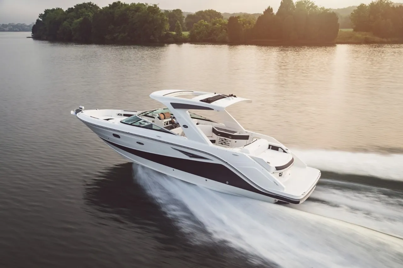
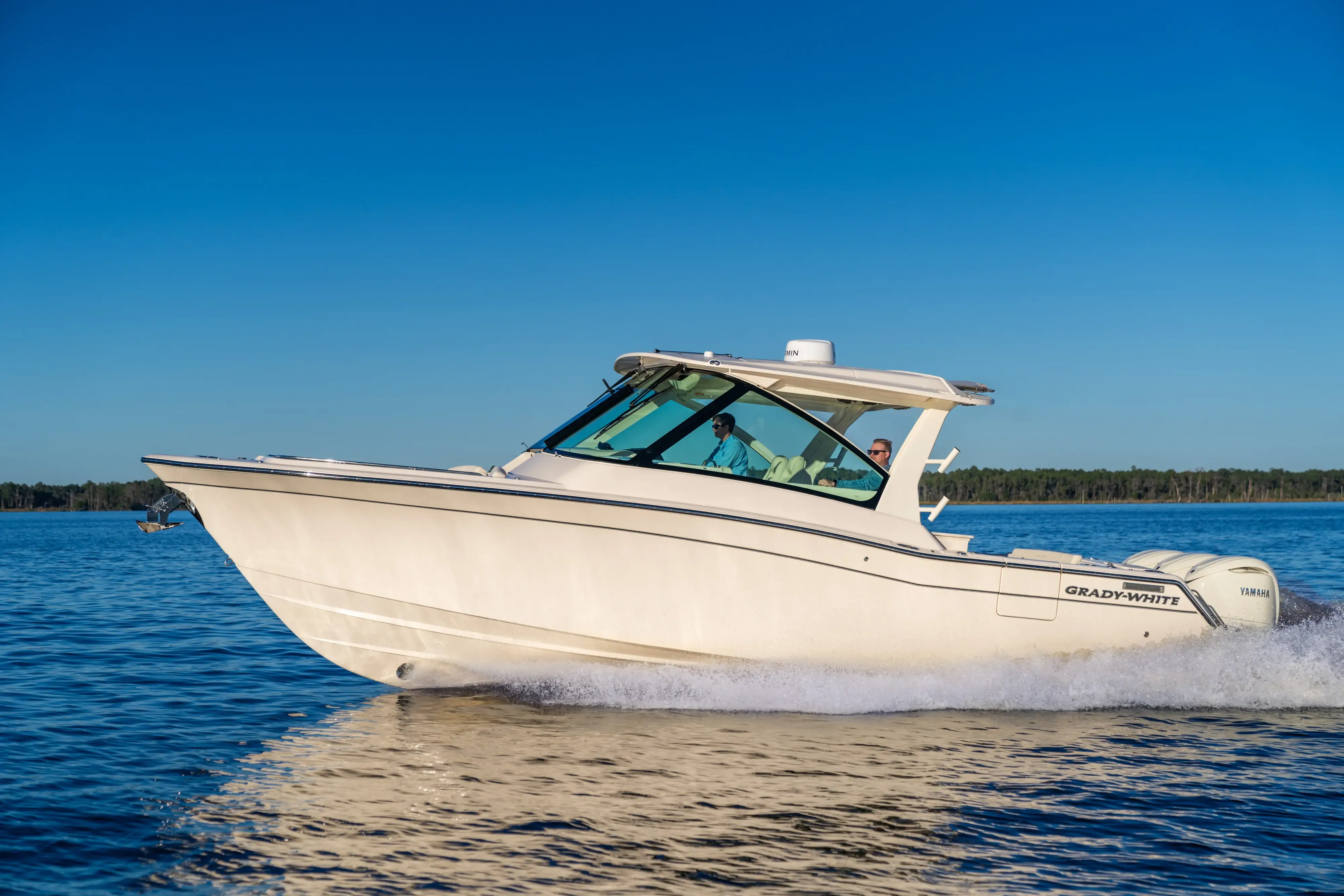
Yachts we'd shortlist for Fort Myers & Cape Coral
Reviewed the same way as everything on this site — specifications verified against the builder's own numbers.
Frequently Asked Questions
Where can I moor or anchor at Fort Myers Beach?
The Town's Matanzas Pass Mooring Field — 89 balls, year-round, vessels to 70 feet, at $35 a night plus tax (27-night max) or $532.84 a month. The Town requires $100,000 liability insurance and weekly black-water pump-out by its own vessel, and runs two public dinghy docks: under the bridge on the island side and at Tropical Shores Way. Harbor office 239-224-4118, harbormaster cell 239-413-9626, VHF 16.
Is Fort Myers & Cape Coral a good home port?
For an owner who wants options, few ports match it: the cross-state waterway upriver, Sanibel and Captiva an hour out, the Gulf through a 70-foot gate, and a mooring field and marina stock being rebuilt newer and stronger than before. The honest trade-offs: 55 feet of fixed clearance caps tall rigs through town, the southern passes shoal, and manatee zones set the pace. Tell us how you'll use this water and we'll match the boat: TS@MintedYachts.com or +1 (404) 805-9819.
What bridge clearances limit the Caloosahatchee at Fort Myers?
Plan on 55 feet — the governing fixed clearance through town. The Caloosahatchee Bridge, Cape Coral Bridge and the I-75 twin spans all carry 55 feet, the Edison Memorial 56, per the Coast Pilot. Seaward, the Sanibel Causeway's A-span over the main channel gives 70 feet. Upriver toward Lake Okeechobee, the full waterway's minimum is 49 feet at the Mile 38.0 lift bridge, and a 27-foot bascule sits at Mile 126.2.
Which Fort Myers area restaurants can I reach by boat?
The clearest welcomes: The Boathouse Tiki Bar & Grill on both banks of the Caloosahatchee ("drop anchor or pull up dockside"), Rumrunners at Cape Harbour with free docking, Doc Ford's on Fishermans Wharf by car or boat, and The Green Flash on Captiva with 15 slips at Marker 38. Gramma Dot's dines Sanibel Marina's transient docks, Lighthouse Waterfront serves Port Sanibel Marina's slips, and Flippers on the Bay posts its approach off Big Carlos Pass.
What should I know about running to Sanibel and Captiva?
Cross under the causeway's 70-foot A-span, then respect the crosscurrent stretch where the ICW crosses San Carlos Bay — documented by the Coast Pilot between Daybeacons 2A and 8, worst on a spring ebb, and locally called the Miserable Mile. Ding Darling refuge waters are slow-speed minimum-wake with a no-motor wilderness zone; Blind Pass shifts constantly under a 7-foot span; and Redfish Pass is a local-knowledge-only Gulf entrance. Captiva village publishes fuel and pump-out off Mile 12.1.
Where can I dock in downtown Fort Myers?
Legacy Harbour Marina is the downtown answer — a complete post-Ian rebuild at Okeechobee Waterway Marker 49, projected to reopen in the first quarter of 2026 with 131 slips for vessels 40 to 150 feet, single- and three-phase power and in-slip pump-out. The historic Fort Myers Yacht Basin is not operating: the city's FY24 strategic plan commits it to redevelopment with a marina operator. Royal Palm Yacht Club, over 70 years on the river, is the private-club option.
How do the Okeechobee Waterway locks work from Fort Myers?
Three locks lift the Caloosahatchee side — S-77, S-78 and S-79 between Fort Myers and Moore Haven — and all five waterway locks operate 0600 to 2130 daily, monitoring VHF 16, with about 15 minutes to lock through per the SFWMD. The first upriver is the Franklin Lock at Mile 121.4: 400 feet long, 56 wide, 14 over the sill. Caution: these locks discharge Lake Okeechobee water, and releases build strong currents at the approaches.
Has the Fort Myers waterfront rebuilt since Hurricane Ian?
It's rebuilding on a published schedule, and much of it newer than anything that stood before. The marina at South Seas on Captiva reopened in May 2025 with power pedestals elevated above surge level. Salty Sam's runs nearly 3,700 linear feet of new floating docks rated to 130 mph loaded. Legacy Harbour's 131-slip rebuild is projected for the first quarter of 2026, and Cape Coral's Yacht Basin holds both federal permits with design completion expected by February 2026.