
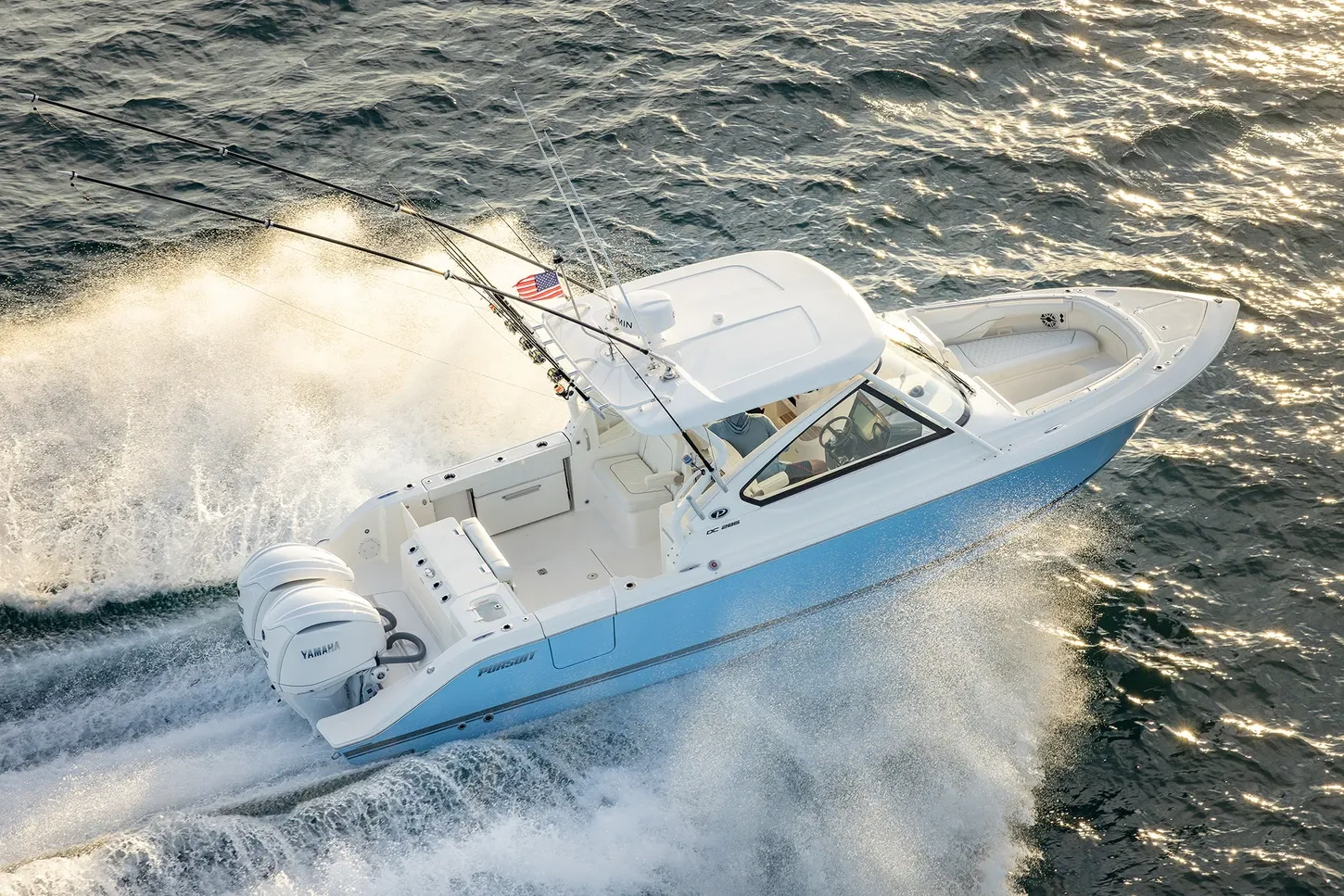
Pursuit D28630' 0"
View Specs & ReviewSt. Lucie Inlet to the Okeechobee Waterway
Yachting in Stuart & the St. Lucie
A Minted Location · Stuart & the St. Lucie, Florida
If your plans point offshore to the sailfish grounds one weekend and clear across to the Gulf coast the next, Stuart is where both trips start at the same dock — this is Mile 0.0 of the Okeechobee Waterway, the 155-statute-mile Atlantic-to-Gulf route, laid right on top of the ICW at St. Lucie Inlet. The Coast Pilot is blunt about that inlet — dangerous, with reported tidal currents to 7 knots and entrance buoys moved too often to chart — which is exactly why the boats based here are built and crewed for it.
Minted Yachts works this river, and everything below comes from each facility's or agency's own published information — the same standard behind every yacht review on this site.
For an owner, the market is three waterfronts in one: downtown Stuart's river basin, where Sunset Bay pairs 198 slips with a 69-ball mooring field a five-minute walk from town; the Manatee Pocket, the working sportfish harbor the Coast Pilot calls good holding with room to anchor anywhere overnight; and the Indian River shore at Jensen Beach, where the county runs its own 56-ball mooring field. Pick your Stuart, and the boat follows.
Where to keep a yacht in Stuart & the St. Lucie
Stuart dockage sorts into three clusters. Downtown, the St. Lucie River basin holds Sunset Bay's 198 slips and the biggest mooring field in the market, Safe Harbor Harborage's public transient slips on the north shore, the city's free daytime docks on the Riverwalk, and Loggerhead's Riverwatch dry stack up the South Fork on the Okeechobee Waterway itself. The Manatee Pocket at Port Salerno is the sportfish harbor — Sailfish Marina's fuel docks and travel lift, Pirate's Cove's resort slips, the county's 36-ball mooring field and a ring of dock-and-dine seafood houses. And the Indian River side at Jensen Beach adds Four Fish Marina's storm-rated dry stack and the county's second mooring field at the causeway. Figures below are what each facility publishes about itself.
Marinas
| Name | Where | Max yacht | Slips | Fuel |
|---|---|---|---|---|
| Sunset Bay Marina & AnchorageThe downtown flagship: 198 fixed and floating slips and 69 moorings a five-minute walk from downtown Stuart, with a ship store and the Sailor's Return restaurant on the property. | Downtown Stuart — St. Lucie River, 615 SW Anchorage Way | 150 ft | 198 | Fuel dock on site; two pump-outs |
| Safe Harbor Harborage Yacht ClubFixed and floating docks with on-site vessel service (electrical, electronics, engine, refrigeration/AC) and three dining options including Tide House — its operator's pages cite slip lengths to 100 ft on one and vessels to 110 ft on another; confirm your boat with the dockmaster. | Stuart — north shore of the St. Lucie River, 955 NW Flagler Ave | — | — | Marine gas & diesel (FuelTech), daily 8–5; pump-out at the slips |
| City of Stuart City DocksThe city's own invitation: visit downtown by boat and dock free for the day on fixed docks that adjust with the tide, a short walk from the Riverwalk restaurants. | Downtown Stuart Riverwalk — 121 SW Flagler Ave | — | — | — |
| Loggerhead Marina — Riverwatch MarinaLoggerhead's one Stuart location: 32 wet slips to 60 ft and a 283-boat dry stack to 41 ft on the waterway's South Fork leg, with a service department and hurricane storage. | Stuart — South Fork St. Lucie River, on the Okeechobee Waterway, 200 SW Monterey Rd | 60 ft | 32 | Fuel dock; pump-out service |
| Sailfish Marina of StuartThe Pocket's working hub: 55 wet slips, two dry barns for 200 boats to 29 ft, a 50-metric-ton travel lift hauling to 60 ft LOA and 18 ft beam, and certified Yamaha mechanics — the marina reminds arrivals the whole Pocket is a no-wake zone. | Manatee Pocket — Port Salerno side, 3565 SE St. Lucie Blvd | 90 ft | 55 | Non-ethanol gas & diesel — South Fuel Dock 6–7 (DST), North Fuel Dock 7–5; prices posted on its site |
| Pirate's Cove Resort & MarinaThe resort marina of the Pocket: 50 wet slips to 90 ft, dry racks to 32 ft with one in/out per day and a freshwater hull rinse, fish cleaning stations, bait and tackle, crew showers and laundry. | Manatee Pocket — Port Salerno, 4307 SE Bayview St | 90 ft | 50 | Diesel & gas fuel dock; marina hours 7–5 daily |
| Four Fish MarinaThe Indian River shore's rebuilt yard: 50 wet slips (12 more with the new building), a Category 5-rated fully enclosed 141-rack dry stack, 22 boat lifts and new concrete floating docks. | Jensen Beach — Indian River Drive, on the ICW, 2225 NE Indian River Dr | — | 50 | Fuel on site |
Yacht clubs
| Name | Where | Max yacht | Slips | Fuel |
|---|---|---|---|---|
| Sailfish Point Marina & Yacht ClubThe private residential club marina at the inlet's edge — by its own description one of the largest bulkheaded, privately owned marinas in Florida, with deep water and immediate ocean access; its own pages cite both 100 ft and 125 ft as the top end, so confirm with the club. | Sailfish Point — south tip of Hutchinson Island, at St. Lucie Inlet | — | — | — |
| Stuart Corinthian Yacht ClubThe member-owned social yacht club on the Pocket — (772) 221-1900 for membership and reciprocity questions. | Manatee Pocket — Port Salerno, 4725 SE Capstan Ave | — | — | — |
Figures are as each facility publishes them on its own site; blank cells mean the facility doesn't state a number. Confirm slip availability and current rates directly — or ask us to make the calls.
Cruising from Stuart & the St. Lucie
The inlet. St. Lucie Inlet is the market's ocean door and it demands respect: the Coast Pilot calls it dangerous and particularly hazardous to small boats not designed for the open seas, with reported tidal currents to 7 knots, currents still running two hours after high and low water, and entrance buoys that are deliberately uncharted because they're moved to follow the best water — and may be off station after storms. The north jetty's inner section is in ruins with a rock ledge running more than a mile south, and shoaling builds from both sides. Easiest entry is just on the flood side of slack; for local conditions call Coast Guard Station Fort Pierce, 772-464-6100.
The crossroads turn. Where the ICW, the inlet and the St. Lucie River meet, cross currents make the short turn hazardous — the Coast Pilot says to stay 100 yards southward of a line between Light 4 and Daybeacon 6 to clear the hard ledge on the north side. The junction is ICW Mile 987.8, and the Okeechobee Waterway's Mile 0.0.
The Okeechobee Waterway. The Gulf crossing is an 8-foot federal project channel, about 155 statute miles to Fort Myers, with controlling depths published in the Local Notice to Mariners. St. Lucie Lock at Mile 15.1 runs 7 a.m. to 5 p.m., 365 days a year, last lockage beginning 4:30 p.m. — a 50-by-250-foot chamber, 10 feet over the sill at low water, normal lift 14.5 feet, and a 15-to-20-minute lockage. USACE locks monitor VHF 13 (bridges 9); approach only on the lock-tender's instruction. During Lake Okeechobee releases the Coast Pilot warns the upper sill can shrink to 8 feet and high, unexpected currents run east of the lock — the USACE area office in Clewiston (863-983-8101) has the latest depths.
Air draft decides the crossing. The controlling clearance for the whole waterway is the 49-foot lift bridge at Port Mayaca, Mile 38.0, with 55 feet the minimum overhead cable. On the Stuart-to-lock leg the Palm City Bridge at Mile 9.5 is the lowest fixed span at 54 feet; the canal bridges beyond run 55 to 56 feet. On the river itself, the Roosevelt (U.S. 1) fixed bridge carries 65 feet, and the Stuart railroad bascule beside it — 6 feet closed — is normally left open, closing for trains.
The Indian River and the ICW. Northbound, the fixed bridges are honest: 65 feet at the SR A1A Evans Crary span three miles above the junction, 66 feet at Jensen Beach (Mile 981.4) and 65 feet at the Indian River bridge (Mile 984.9). Jensen Beach's county mooring field sits at the causeway in about 8 feet, with possible shoaling to 5 feet between the field and the ICW, per the county.
Anchorages and hurricane holes. The Manatee Pocket is the classic stop — good holding bottom, yachts can anchor anywhere for overnight stops, per the Coast Pilot, though its reported controlling depth is 4.5 ft (1983 survey), so deeper boats should verify locally. A designated special anchorage lies east of the waterway at Mile 7.6, and the South Fork above the canal junction is deep, winding, and — in the Coast Pilot's own words — good protection for small boats during hurricane weather.
Fuel, hauling and service. Reliable diesel is easy here: Sailfish Marina runs two fuel docks with non-ethanol gas and diesel on the Pocket, Harborage's FuelTech dock pumps daily 8 to 5 on the north shore, and Sunset Bay fuels downtown. Sailfish Marina's 50-metric-ton travel lift hauls boats to 60 feet LOA and 18 feet of beam, with certified Yamaha mechanics on site; Mack Sails in Stuart handles rigging and mast rehabilitation for the sailing crowd.
- Manatee Pocket — Port Salerno — 0.6 mile west of the ICW/St. Lucie River intersectionThe market's classic anchorage, a protected pocket about a mile long — reported controlling depth 4.5 ft (1983 survey), so deeper-draft yachts should verify locally before committing.
- Manatee Pocket Mooring Field (Martin County) — Manatee Pocket — Port Salerno, 4358 SE Bayview StCounty-run in 5–7 ft average at mean lower low tide, with a dinghy dock, restrooms and weekly Tuesday-morning pump-out; downtown Port Salerno is a walk away. (772) 320-3144.
- Jensen Beach Mooring Field (Martin County) — Jensen Beach Causeway — Indian River Lagoon, 2402 NE Causeway BlvdHelix-anchor StormSoft moorings in 8 ft (average 7.5 at low tide, with possible shoaling to 5 ft between the field and the ICW), backed by showers, laundry, a gated dinghy dock and free Wi-Fi. (772) 320-3184.
- Special anchorage, St. Lucie River (Okeechobee Waterway Mile 7.6) — Off Stuart — east of the waterway, near the South Fork turnThe charted swing room off Stuart for boats staging a lock transit or a downtown day — read the CFR limits before you set the hook.
- South Fork of the St. Lucie River — Above the St. Lucie Canal junctionThe local hurricane hole, straight from the Coast Pilot — the deep, winding reach above the canal junction that generations of river boats have run to when the forecast turns.
Service, refit & supplies
Shipyards & refit
| Name | Where | Max yacht | Dockage |
|---|---|---|---|
| Mack SailsThe sailing coast's loft: sailmaking, rigging and mast rehabilitation — the shop routinely rehabs masts from the bottom up, in its own words. (772) 283-2306. | Stuart — 3129 SE Dominica Terrace | — | — |
On the Stuart & the St. Lucie calendar
The lock day — St. Lucie Lock keeps waterway rhythm year-round: 7 a.m. to 5 p.m., 365 days, last lockage beginning 4:30 p.m., per USACE — plan a Gulf-bound departure around it, and expect Lake Okeechobee high-water periods to shorten the day.
Pump-out Tuesdays — Martin County's pump-out vessel works the Manatee Pocket mooring field on Tuesday mornings, part of the county's published mooring-field routine on both the Pocket and Jensen Beach fields.
Yachts we'd shortlist for Stuart & the St. Lucie
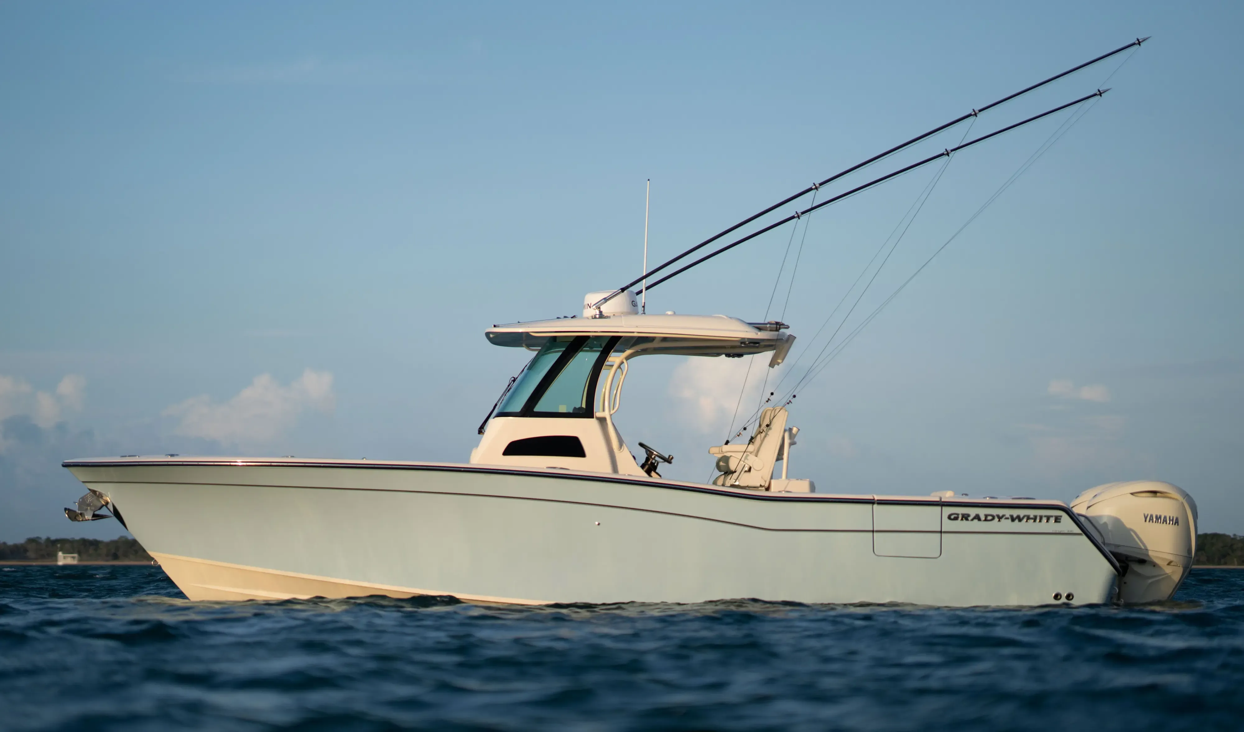
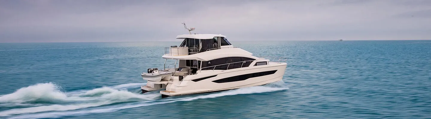
Reviewed the same way as everything on this site — specifications verified against the builder's own numbers.
Frequently Asked Questions
Which Stuart restaurants can I reach by boat?
Start with the ones that say so themselves: Sailor's Return on Sunset Bay with 930 feet of courtesy docking, Two Georges and Shrimpers on the Manatee Pocket with their own dock invitations, The Pearl at the Fish House District whose marina takes vessels to 65 feet, and Pirate's Loft above Pirate's Cove's 50-slip marina. At Jensen Beach, Conchy Joe's publishes a 225-foot dock with a 2.9-foot mean depth and Dolphin Bar posts channel-marker approaches. Downtown's Boathouse and Riverwalk Cafe pair with the city's free daytime docks.
What bridge clearance do I need for the Okeechobee Waterway?
Forty-nine feet decides it: the Port Mayaca railroad lift bridge at Mile 38.0 is the waterway's controlling clearance at 49 feet raised, and the minimum overhead cable across the route is 55 feet. Before that, the Palm City Bridge at Mile 9.5 is the lowest fixed span on the Stuart leg at 54 feet, with the canal bridges at 55 to 56 feet. On the river, the Roosevelt (U.S. 1) fixed bridge carries 65 feet — all per Coast Pilot 4. If your air draft clears 49 feet, the lake route is yours.
Are there mooring fields at Stuart?
Three, and two are county-run at published rates. Martin County's Manatee Pocket field holds 36 moorings ($30 a day, $180 a week, $400 a month plus tax) for vessels to 40 feet in the North Field and 30 in the South, with a dinghy dock and Tuesday pump-outs. Its Jensen Beach field adds 56 moorings for vessels to 50 feet at the same rates, with showers, laundry and Wi-Fi (VHF 16). Downtown, Sunset Bay runs the market's largest field — 69 moorings alongside its 198 slips.
How do I cross to the Gulf coast from Stuart?
Via the Okeechobee Waterway, which starts here — Mile 0.0 sits at the ICW junction in St. Lucie Inlet, ICW Mile 987.8, and runs about 155 statute miles to Fort Myers on an 8-foot federal project channel. St. Lucie Lock at Mile 15.1 operates 7 a.m. to 5 p.m., 365 days a year, last lockage beginning 4:30 p.m.; USACE locks monitor VHF 13, and lockage takes 15 to 20 minutes. Controlling depths run in the Local Notice to Mariners, and the USACE office in Clewiston (863-983-8101) has the latest before you go.
Where can I anchor near Stuart?
The Manatee Pocket is the classic: the Coast Pilot reports good holding bottom and says yachts can anchor anywhere for overnight stops, with small boats finding tropical-storm protection — but its reported controlling depth is 4.5 ft (1983 survey), so deeper boats verify locally. A designated special anchorage lies east of the Okeechobee Waterway at Mile 7.6 off Stuart (33 CFR 110.73(c)), and the South Fork above the canal junction is the Coast Pilot's named hurricane-weather refuge — deep, winding and protected.
Is St. Lucie Inlet safe to run?
Treat it as an experts-only inlet: the Coast Pilot calls St. Lucie Inlet dangerous and particularly hazardous to small boats not designed for the open seas, with reported tidal currents to 7 knots and currents still running two hours after high and low water. The entrance buoys are deliberately uncharted — they're moved to mark the best water and can be off station after storms. Easiest entry is just on the flood side of slack; call Coast Guard Station Fort Pierce, 772-464-6100, for local conditions before you commit.
Where can I dock near downtown Stuart?
Sunset Bay Marina & Anchorage is the downtown answer: 198 slips for vessels to 150 feet with 9 feet of draft, a 69-ball mooring field, fuel and two pump-outs, a five-minute walk from town (VHF 16). The City of Stuart adds free daytime docking at its Riverwalk City Docks — day use only, sunrise to sunset. On the north shore, Safe Harbor Harborage keeps transient slips open to the public with fuel daily 8 to 5. Every figure is from the facility's or city's own pages.
Is Stuart a good home port?
If you want one dock that opens two coasts, there's nothing else like it in Florida: the sailfish grounds out the inlet, the Gulf 155 miles ahead through the lock, county mooring fields at honest published rates, free city day docks downtown and a working sportfish harbor in the Manatee Pocket. The trade-offs are real — the inlet demands experience, and air draft over 49 feet rules out the lake route. Tell us how you'll use this water and we'll match the boat: TS@MintedYachts.com or +1 (404) 805-9819.