
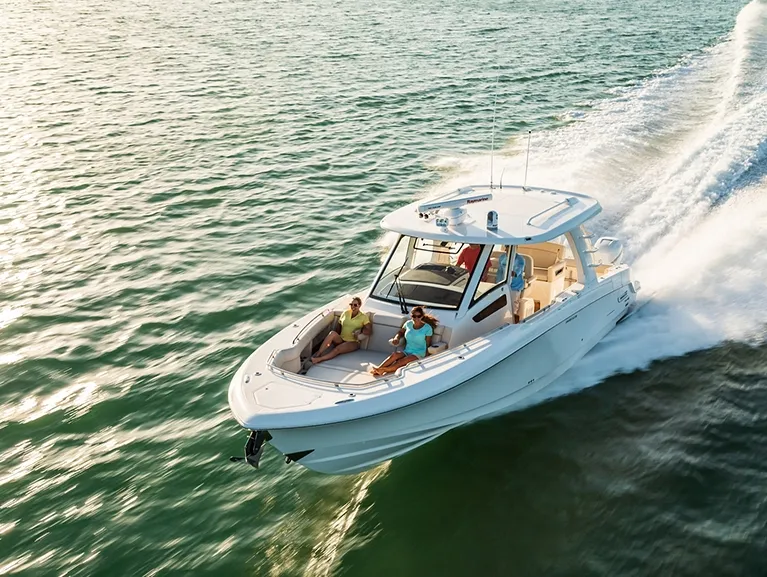
Boston Whaler 350 Realm35'6"
View Specs & ReviewPass-a-Grille to the downtown waterfront
Yachting in St. Petersburg & St Pete Beach
A Minted Location · St. Petersburg & St Pete Beach, Florida
If your boating ambitions run from a downtown slip with a skyline behind it to an empty barrier-island sandbar the same afternoon, St. Petersburg is the market that delivers both sides of the day. The city itself runs the front door: 640 permanent wet slips at the Municipal Marina beside the St. Pete Pier, a 500-foot transient dock with a minimum 10-foot depth throughout, VHF 16 answered 24 hours, and the Pier's own short-term slips for boats to 40 feet. Across the peninsula, the GIWW runs 13 miles through Boca Ciega Bay past Gulfport, South Pasadena, St Pete Beach and Tierra Verde to the passes.
Minted Yachts works this water from the downtown basins to Pass-a-Grille, and everything below comes from each facility's or agency's own published information — the same standard behind every yacht review on this site.
For an owner, this is really two waterfronts: Tampa Bay's deep, big-water downtown — the city marina, the megayacht-capable basins and the Skyway — and Boca Ciega Bay's barrier-island world of mooring fields, beach towns and the sandbars behind Shell Key and Fort De Soto. Pick your side of the peninsula, and the boat follows.
Where to keep a yacht in St. Petersburg & St Pete Beach
Dockage here sorts by which side of the peninsula you keep the boat. Downtown on Tampa Bay, the city's 640-slip Municipal Marina anchors the waterfront next to the Pier, Harborage Marina's Salt Creek basin berths yachts from 30 feet to over 200 behind 1,000 feet of fixed breakwater, and IGY's Maximo Marina holds the southwest corner with 212 slips to 110 feet where the Skyway crosses the waterway. Boca Ciega Bay is the neighborhood side — Gulfport's municipal basin, Pasadena Marina's 125 covered and open slips off marker 38, and Blind Pass Marina's 110 deep-water slips at St Pete Beach. Tierra Verde is the staging island for the passes, led by PORT 32's valet dry stack. Figures below are what each facility or agency publishes about itself.
Marinas
| Name | Where | Max yacht | Slips | Fuel |
|---|---|---|---|---|
| St. Petersburg Municipal MarinaThe city's flagship — 640 permanent wet slips beside the St. Pete Pier, power to 100 amps (120/208V), ship store with bait and tackle, and a 13-ball mooring field at $40/day; the city anticipates marina redevelopment construction beginning 2028, completion 2031. Office open 7 days, 8 to 5:30. | Downtown waterfront — Central & South Yacht Basins, beside the Pier | — | 640 | ValvTect diesel & 90-octane ethanol-free gas |
| Harborage MarinaSalt Creek's big basin, now operated by Waterview Marinas — full-length floating concrete docks, pool, captain's lounge, fuel dock and a waterside restaurant, a walk from downtown. | Salt Creek / Bayboro Harbor — downtown, by the museum district | — | — | Red-dye marine diesel & non-ethanol ValvTect Rec 90 |
| Maximo MarinaIGY's full-service marina at Maximo Point where the Skyway crosses the waterway — covered slip options, service yard, on-site restaurant, pump-out and 24-hour security. | Maximo Point / Frenchman Creek — southwest St. Petersburg | 110 ft | 212 | On-site fuel dock |
| Blind Pass MarinaThe protected basin at Blind Pass on Boca Ciega Bay — 110 deep-water slips plus 11 remote-control 20,000-lb boat lifts, 30- and 50-amp service, and secure upland storage for boats, trailers, vehicles and RVs. | St Pete Beach — Blind Pass, 9555 Blind Pass Rd | — | 110 | — |
| Gulfport Municipal MarinaCity-owned, concrete-seawall-enclosed basin on about 11 acres of land and 7.5 of water — 25 dry storage spaces, a public ramp with 70 trailer spaces, ship store with live and frozen bait, kayak launch and public pump-outs; approach reported 6 ft in the marked Clam Bayou channel and 5 ft in the basin (2006), no-wake throughout. | Gulfport — Clam Bayou basin, north shore of Boca Ciega Bay | — | — | Two fueling stations — mid-grade gas (10,500-gal capacity) & dyed diesel (12,500-gal) |
| Pasadena Marina125 full-service covered and open slips for boats to 55 ft — slip-side pump-out, pool, air-conditioned bath houses, laundry and Wi-Fi. | South Pasadena — off ICW marker 38, Boca Ciega Bay | 55 ft | 125 | — |
| PORT 32 Tierra VerdeThe staging marina for the passes — valet dry-stack service with wash-down and engine flush on return, minutes from prime offshore fishing by its own account. | Tierra Verde — just off the Pinellas Bayway | 42 ft | — | Fuel dock with Rec 90 gasoline |
| Tierra Verde MarinaThe north-end Tierra Verde stop — the figures here are the Coast Pilot's (ch. 5, 2026 ed.) because the marina's own site is being rebuilt; call ahead for current dockage and fuel. | Tierra Verde — north end, west side of the Bayway bridge | — | — | — |
| Fort De Soto Park Boat RampPinellas County's largest park — 1,136 acres across five keys with over 7 miles of waterfront, a 236-site campground, two fishing piers and ferries to Egmont Key and Shell Key; $6 parking, open 7 days, 7 a.m. to sunset. The closest trailer access to Bunces Pass and Shell Key. | Tierra Verde / Mullet Key — 3500 Pinellas Bayway S | — | — | — |
Yacht clubs
| Name | Where | Max yacht | Slips | Fuel |
|---|---|---|---|---|
| St. Petersburg Yacht ClubFounded 1909, one of the oldest yacht clubs in the country — over 120 wet slips across three full-service marinas (Downtown 727-822-3227, Snell Isle 727-895-8142, Pass-a-Grille 727-360-1646); reciprocal-club visits limited to twice annually. | Downtown (11 Central Ave), Snell Isle & Pass-a-Grille stations | — | — | — |
| Isla Del Sol Yacht & Country ClubPrivate membership club on Boca Ciega Bay — a 76-slip yacht harbor beside the Bayway's 65-ft fixed spans, with an 18-hole course, tennis, pickleball, fitness and dining on the club side. | Isla del Sol — 6000 Sun Blvd, off the Pinellas Bayway | — | 76 | — |
| Pasadena Yacht & Country ClubAn 82-slip private marina the club calls one of the more protected harbors on Florida's west coast — membership is required to lease or own a slip. | Gulfport — 6300 Pasadena Point Blvd, Boca Ciega Bay | — | 82 | — |
Figures are as each facility publishes them on its own site; blank cells mean the facility doesn't state a number. Confirm slip availability and current rates directly — or ask us to make the calls.
Cruising from St. Petersburg & St Pete Beach
Downtown and the Skyway. The Municipal Marina answers VHF 16 around the clock, and its 500-foot transient dock carries a minimum 10-foot depth throughout. Respect the big bridge: the Sunshine Skyway's 500-foot main span clears 180 feet over the main ship channel, and the Coast Pilot warns that commercial vessels transit it above 12 knots and cannot maneuver — recreational boats have repeatedly impeded them, and Rule 9(b) applies. Small craft belong in the dredged Sunshine Skyway Channel about 600 yards west of the bridge, marked by lights and daybeacons between Mile 97.8 and Mile 110.8.
The GIWW through Boca Ciega Bay. The federal project is 9 feet deep by 100 feet wide, but channels may shoal several feet between dredgings — consult USACE for controlling depths. Tidal currents in the bay seldom exceed 0.5 knot. The waterway enters at Mile 110.8, passes under the Skyway's 65-foot fixed span at Mile 110.5 near Maximo Point, and runs 13 miles northwest toward The Narrows. The fixed ceiling is 65 feet: the Pinellas Bayway span over the main channel at Mile 113.0 matches it, though the Coast Pilot's chapters letter that crossing two ways — chapter 12 calls it Structure E, chapter 5 credits SR 682's Structures C and D (Long Key to Isla del Sol) with the same 65 feet — so both are on the record. The bascule chain northbound: Corey Causeway, 23 feet closed at Mile 117.7; Treasure Island Causeway, 21 feet at Mile 119.0 with the tender on VHF 9 (its fixed side openings carry only 4 and 5 feet); Welch Causeway, 25 feet at Mile 122.8. Side routes are tighter still — SR 682's Structure B clears 11 feet and the Cats Point Channel span 18 feet.
The passes. Pass-a-Grille Channel is the marked southern gate between Pass-a-Grille and Tierra Verde: the North Channel carried a 3-foot controlling depth (2022) from the Gulf bar through to the GIWW, the south channel was reported completely shoaled (2003), and the current floods north at an average 1.2 knots and ebbs south at 1.4. The Coast Pilot also notes a marina west of Vina del Mar with transient berths, fuel and a 7-ton lift on a reported 10-foot approach (2005). Johns Pass, at the bay's north end, is the serious inlet with the serious caveats — a 28-foot bascule with the tender on VHF 9, reported considerable shoaling between Daybeacon 1 and Buoy 3 demanding extreme caution and local knowledge, and currents that flood northeast at an average 2.0 knots; NOAA publishes dedicated current predictions for three separate points inside the pass. Blind Pass is local small-craft water under an 11-foot fixed span with overhead cables at a 30-foot minimum. And Bunces Pass, the wild one at Fort De Soto, reported shoaling to less than 1 foot over its unmarked Gulf bar (2001) — greater depths inside, local knowledge necessary — with a 20-foot fixed Bayway span (Structure F) and a 16-foot Skyway span over its east end, plus a stake-marked 3-foot channel into the Mullet Key Bayou small-craft anchorage (Coast Pilot 5, 2026 ed.).
Slow water. FWC's Pinellas County maps zone much of Boca Ciega Bay slow-speed for manatees — some areas year-round, others April 1 to October 31 or November 15 to March 31 — so run the current maps, not memory. Gulfport's marina basin is no-wake, entered on a privately marked, lighted 035-degree range with reported depths of 6 feet in the Clam Bayou channel and 5 feet in the basin (2006).
The islands. Shell Key spreads 1,800 acres between Pass-a-Grille and Fort De Soto — boat-access only, its central core closed to the public as a Bird Preservation Area, overnight camping by county permit in the southern public use area only. Fort De Soto, the county's largest park at 1,136 acres across five keys with over 7 miles of waterfront, is running one floating dock at the launch while the storm-damaged facility is rebuilt (replacement docks estimated complete by end of 2026). And Weedon Island's 3,000 acres on Tampa Bay make the tender-and-kayak day: two self-guided paddling trails (the north trail currently closed) and more than 4.7 miles of boardwalks.
- St. Petersburg Municipal Mooring Field — Downtown waterfront — off the Municipal MarinaThe downtown night on a ball — city-run moorings beside the 640-slip marina and the Pier District, with the marina's fuel, ship store and facilities a dinghy ride away.
- Gulfport Mooring Field — Gulfport — south of the Gulfport Casino, Williams Pier & Municipal BeachThe sourced way to arrive at the Gulfport waterfront — the city's 25-ball field off the Casino and Williams Pier, a block from Beach Blvd, with pump-outs and fuel at the municipal marina in Clam Bayou.
- Shell Key Preserve — Between Pass-a-Grille and Fort De Soto — Gulf side of Tierra VerdeThe sandbar of the region: an 1,800-acre county preserve the county ranks among the state's most important shorebird nesting and wintering areas — the central core (including the former mid-island public use area) is a Bird Preservation Area closed to the public, there are no restrooms, and a ferry runs from the Fort De Soto boat ramp.
- Bunces Pass & Mullet Key Bayou — North end of Mullet Key — Fort De Soto's back doorThe wild pass at Fort De Soto — the unmarked Gulf bar reported shoaling to less than 1 ft (2001) with greater depths inside, so local knowledge is necessary; the 20-ft fixed Bayway span (Structure F) and the 16-ft Skyway span over the east end frame the inside routes.
- Weedon Island Preserve — North St. Petersburg — Tampa Bay side3,000 acres of mangrove country on Tampa Bay — more than 4.7 miles of boardwalks and trails, a fishing pier known for sea trout, snook and sheepshead; shell fishing prohibited and no commercial fishing.
Service, refit & supplies
Shipyards & refit
| Name | Where | Max yacht | Dockage |
|---|---|---|---|
| Embree Marine ServiceThe working-yard anchor of the Salt Creek marine district — full-service boatyard with 24/7 security, a short creek run from the downtown basins. | Salt Creek — 201 16th Ave S, St. Petersburg | — | 55-ton Travelift — 20-ft beam, boats 70+ ft; 30- & 50-amp service |
On the St. Petersburg & St Pete Beach calendar
Stone crab season — October to May: Billy's Stone Crab on Tierra Verde works its own crab boats and traps through the season, by its own account — the region's calendar-marker for cracked claws.
Manatee season — FWC's Pinellas County zone maps split Boca Ciega Bay between year-round slow-speed areas and seasonal ones running April 1 to October 31 or November 15 to March 31 — the effective zones change with the calendar, so re-check the maps each spring and fall.
The rebuild calendar — the waterfront's current rhythm is recovery and reinvestment, all on the record: the downtown mooring field has been back in operation since March 17, 2025, Fort De Soto's replacement launch docks are estimated complete by the end of 2026, and the city anticipates Municipal Marina redevelopment construction beginning 2028 with completion expected in 2031.
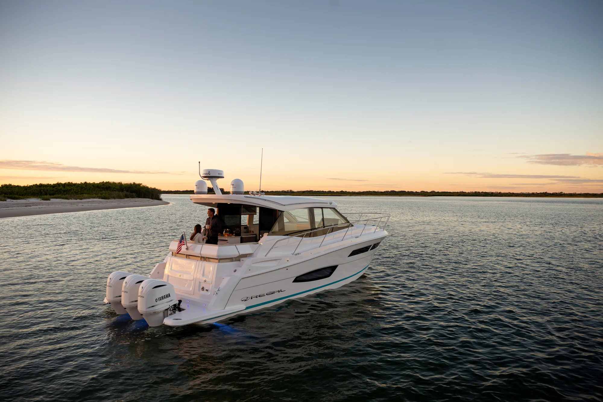
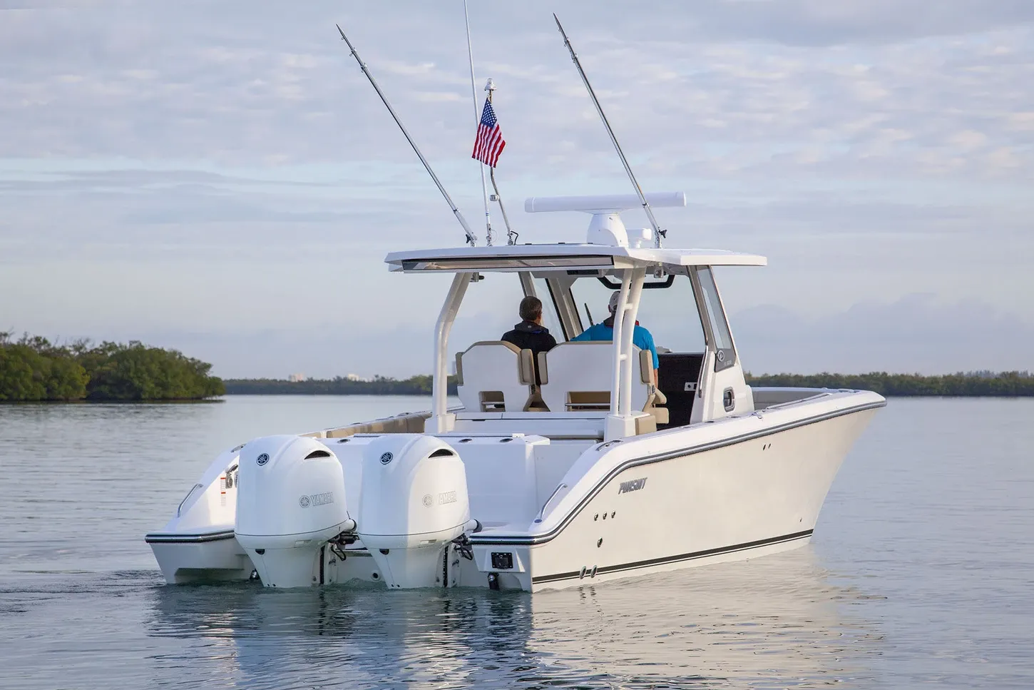
Yachts we'd shortlist for St. Petersburg & St Pete Beach
Reviewed the same way as everything on this site — specifications verified against the builder's own numbers.
Frequently Asked Questions
Is St. Petersburg a good home port?
If you want a real city waterfront and barrier-island water in the same tank of fuel, it's hard to beat: 640 city slips downtown, mooring fields at two price points, working yards on Salt Creek, and Shell Key and Fort De Soto twenty-odd minutes from the Bayway. The trade-offs are honest ones — 65-foot fixed spans cap the GIWW route, the passes shoal and demand local knowledge, and the city plans marina redevelopment construction starting 2028. Tell us how you'll use the water and we'll match the boat: TS@MintedYachts.com or +1 (404) 805-9819.
Can I get to the St. Pete Pier by boat?
Yes — the Pier keeps a limited number of short-term slips, first-come with no reservations, open 6 a.m. to 11 p.m. with a six-hour maximum, for boats up to 40 feet (no PWC, kayaks, paddleboards or dinghies, and no hook-ups). Rates top out at $15 for six weekday hours and $18 on weekends. Tie up and Doc Ford's Rum Bar & Grille is at the south end of the Overlook, with Fresco's Waterfront Bistro near the Pier entrance. Marina office 727-893-7329; after-hours security 727-639-5790.
Which St. Petersburg restaurants can I reach by boat?
Two publish docks outright: Red, White & Booze on Pass-a-Grille — set on the inlet with docks for your boating pleasure, in its own words — and the Island Grille & Raw Bar on Tierra Verde, which states Boat Docks at our Restaurant. Downtown, the Pier's short-term slips (boats to 40 feet, six-hour max) put Doc Ford's and Fresco's a stroll from the cleat. The rest of the famous rooms — Billy's Stone Crab, the Wharf, the Hurricane, O'Maddy's — are landmarks whose own sites publish no patron dock: check local dockage options, then walk; Gulfport's 25-ball mooring field covers O'Maddy's.
What's the story at Shell Key and Fort De Soto?
Shell Key is the sandbar: an 1,800-acre county preserve, boat-access only, with its central core closed to the public as a Bird Preservation Area and overnight camping by county permit only in the southern public use area — no dogs or alcohol anywhere, and no restrooms. Fort De Soto, the county's largest park at 1,136 acres across five keys, runs the 800-foot launch facility — one floating dock open while the storm-damaged docks are rebuilt, replacement estimated complete by end of 2026 — plus a 236-site campground and ferries to Egmont Key and Shell Key. $6 parking, open 7 a.m. to sunset.
Which passes connect Boca Ciega Bay to the Gulf?
Pass-a-Grille Channel is the marked southern gate — the Coast Pilot reports a 3-foot controlling depth (2022) through the North Channel from the Gulf bar to the GIWW, with the south channel completely shoaled (2003) and currents averaging 1.2 to 1.4 knots. Johns Pass, to the north, carries a 28-foot bascule (tender on VHF 9) and reported considerable shoaling between Daybeacon 1 and Buoy 3 — extreme caution and local knowledge, with flood currents averaging 2 knots. Blind Pass is small-craft water under an 11-foot fixed span, and Bunces Pass reported under 1 foot over its unmarked Gulf bar (2001) — local knowledge necessary.
Where can I dock or moor in Gulfport?
The city-owned municipal marina in the Clam Bayou basin — its official page cites both 192 and 250 wet slips open to the public, so call (727) 893-1071 — with 25 dry storage spaces, a public ramp with 70 trailer spaces, and two fueling stations holding 10,500 gallons of mid-grade gas and 12,500 of dyed diesel. The Coast Pilot reported 6 feet in the marked Clam Bayou channel and 5 feet in the no-wake basin (2006). For a night on a ball, the city runs a 25-mooring field south of the Gulfport Casino, Williams Pier and Municipal Beach, available year-round — a block from the Beach Blvd waterfront.
What bridge clearances should I plan for around St. Petersburg?
Plan on 65 feet as the fixed ceiling: the Sunshine Skyway's GIWW span at Mile 110.5 near Maximo Point and the Pinellas Bayway span at Mile 113.0 both carry it — the Coast Pilot's chapters letter that Bayway crossing differently (chapter 12 says Structure E; chapter 5 credits SR 682's Structures C and D with the same 65 feet). The bascules northbound: Corey Causeway 23 feet closed (Mile 117.7), Treasure Island Causeway 21 feet (Mile 119.0, tender on VHF 9), Welch Causeway 25 feet (Mile 122.8). Side routes are tighter — SR 682's Structure B 11 feet, Cats Point Channel 18 feet, Blind Pass 11 feet.
Where can I dock in downtown St. Petersburg?
The city's Municipal Marina — 640 permanent wet slips in the downtown yacht basins beside the St. Pete Pier, with a 500-foot transient dock carrying a minimum 10-foot depth throughout, ValvTect diesel and 90-octane ethanol-free gas, and VHF 16 monitored 24 hours. Transient reservations open up to 30 days ahead, and 13 city moorings run $40 a day. On Salt Creek, Harborage Marina berths yachts from 30 feet to over 200 behind 1,000 feet of fixed breakwater. One planning note from the city itself: marina redevelopment construction is anticipated to begin in 2028, with completion expected in 2031.